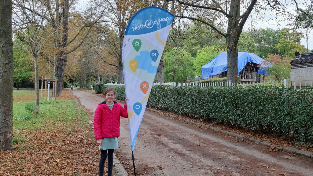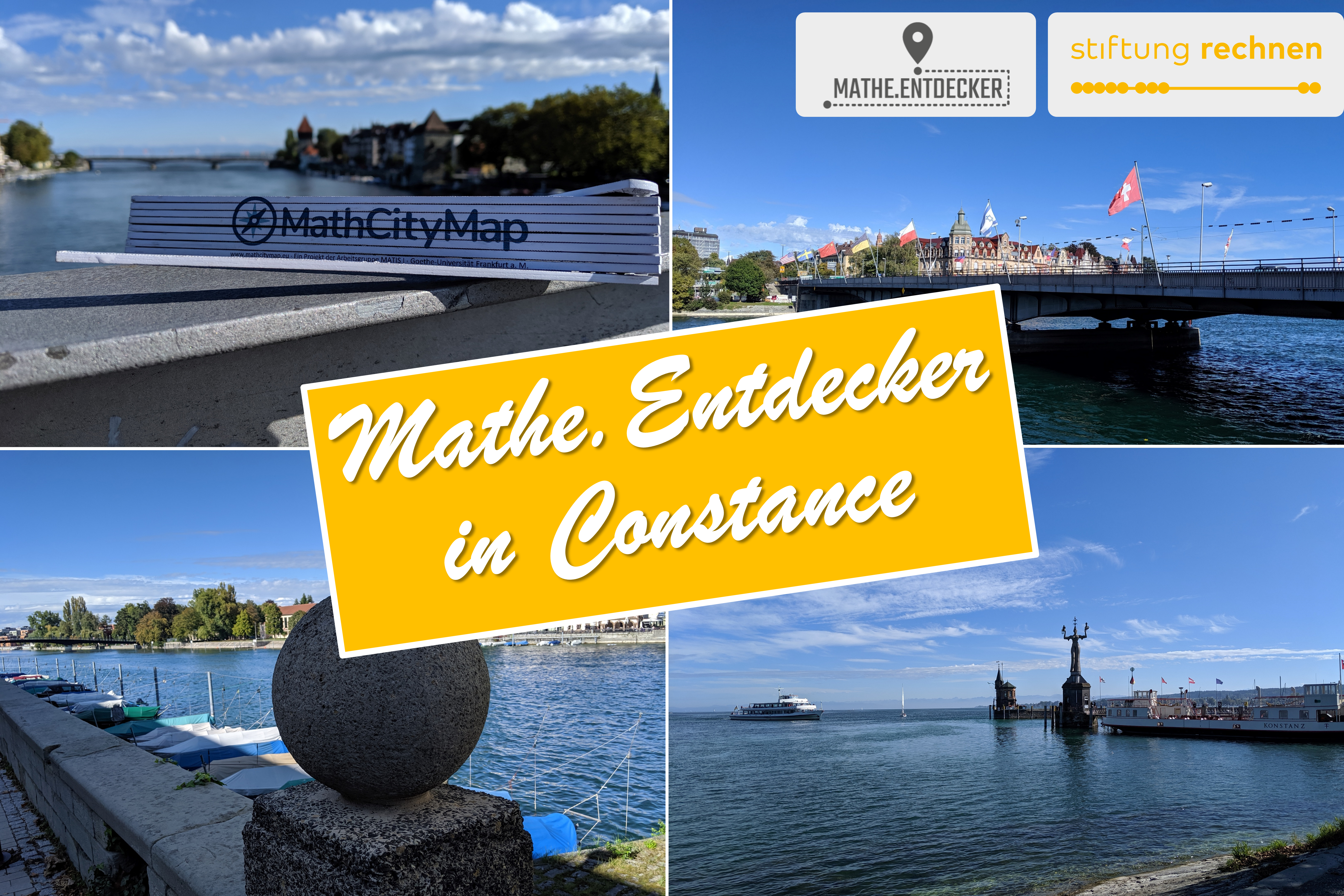
In the past weeks we presented on our website a variety of math trails, which were created during our award-winning MathCityMap seminar at the Goethe University Frankfurt. All of these trails have been tested by students on site and have also passed our expert review. Lastly, in this section we presented the trail “The Sinai Park” by Isabella Unkart.
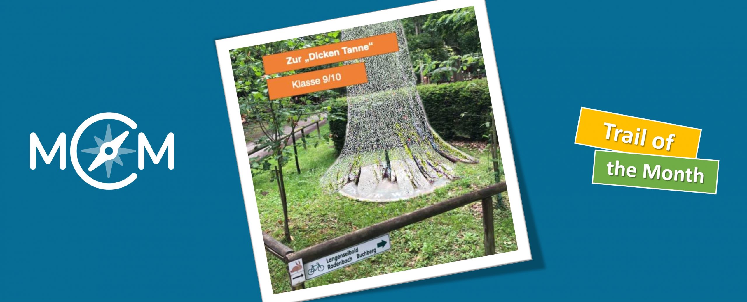
At the end of this section we will choose the math trail by Jens-Peter Reusswig as the Trail of the Month October. The trail offers not only a variety of mathematical discovery possibilities, but also allows for interdisciplinary lessons: All tasks of the trail “The Thick Fir” have references to ecology: By working on this trail, the students not only learn mathematical content, but are also sensitized to biological facts and topics. Below, part 1 of our interview with Jens-Peter Reusswig is presented.
How did you find out about the MathCityMap project? Did you get to know and use MCM before the Mathtrail seminar?
I learned about the MathCityMap project for the first time in the mathematics-didactic advanced seminar “Teaching ideas in Sek I & II under the aspects of analysis” by Mrs. Schubert in the last semester. The app was introduced to us by a course participant and we could then walk a short path ourselves. At that time I only knew the app from the user’s point of view, but not from the perspective of a MathCityMap author.
Describe briefly the main content of the seminar.
The main content of the seminar was to understand the idea behind MCM, to get to know the web and app application and finally to develop a trail step by step by myself. The beginning therefore consisted of the development of theoretical basics to know where MCM has its origin and to be able to estimate the potential of extracurricular learning places. Afterwards the seminar gradually became more practice-oriented and we got to know MCM not only from the student’s perspective but also from the author’s perspective.
The team of experts had a lot to come up with, so that the digital exchange sometimes consisted of a podcast, a video message or a forum discussion.
In the seminar I learned …
1. Which criteria an MCM task must fulfill and which task variations can result from it on the different levels of understanding of terms according to Vollrath.
2. that it is not bad if a task sometimes goes through several revision circles.
3. it is worthwhile to use the task wizard from time to time.
4. you simply have to edit a trail yourself to know what is important.
5. MCM is leaded by an experienced team who put their heart and soul into the further development of the app and the portal.
Describe your trail in a few words.
The trail near Freigericht / Somborn leads along the forest nature trail to the clubhouse to the “Thick Fir” of the Schutzgemeinschaft Deutscher Wald on the Spessartbogen hiking trail. On the round way one is to guest in a miracle of nature. The forest is a place of recreation, carbon dioxide storage and economic area at the same time, but above all it is a boundless classroom.
The trail runs through this versatile learning location, combining mathematical challenges with ecological background knowledge to create a very special learning experience – inside and outside the app. This not only trains mathematical skills, but also promotes knowledge about the forest and its inhabitants.
Why did you decide to do a trail with a focus on ecology?
I chose to focus on ecology because I was looking for an extracurricular place of learning that is familiar to many learners and contains meaningful questions that can be answered with mathematical tools.
With the forest ecosystem I had found a suitable environment that also encourages discovery, amazes students and can be experienced with all senses. The trail also integrates the local learning offer, which has always informed walkers about the forest as a habitat and explains why it is so worth protecting.
How does this fit in with interdisciplinary learning?
Interdisciplinary learning aims at showing connections, in this case connections between maths and biology. It is important to make it clear to learners that ecological issues cannot be solved without mathematics, and at the same time, that without ecology, mathematics would lose an important field of application with pressing future questions. By linking the two disciplines, mathematical tasks are suddenly linked to the reality of life and anchored in an authentic application context.
For which grade levels is the trail intended?
Since the trail requires a good reading comprehension and often several solution steps are necessary, it is recommended that students in grades 9 and above work through the trail independently. However, if groups of learners explore the tasks in groups, it is possible to work through the trail earlier.