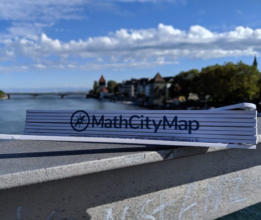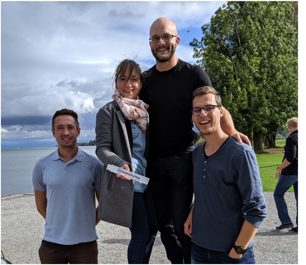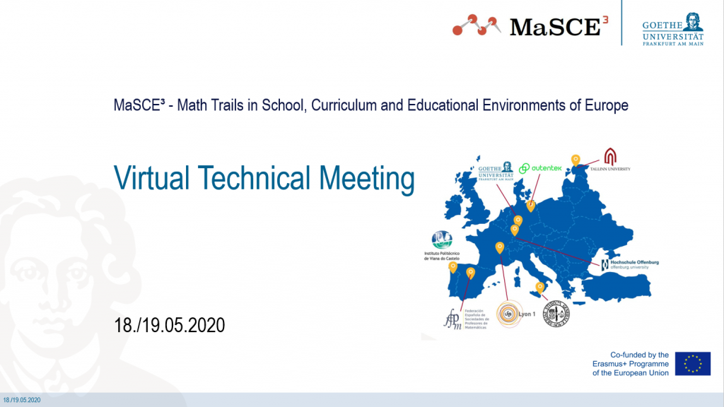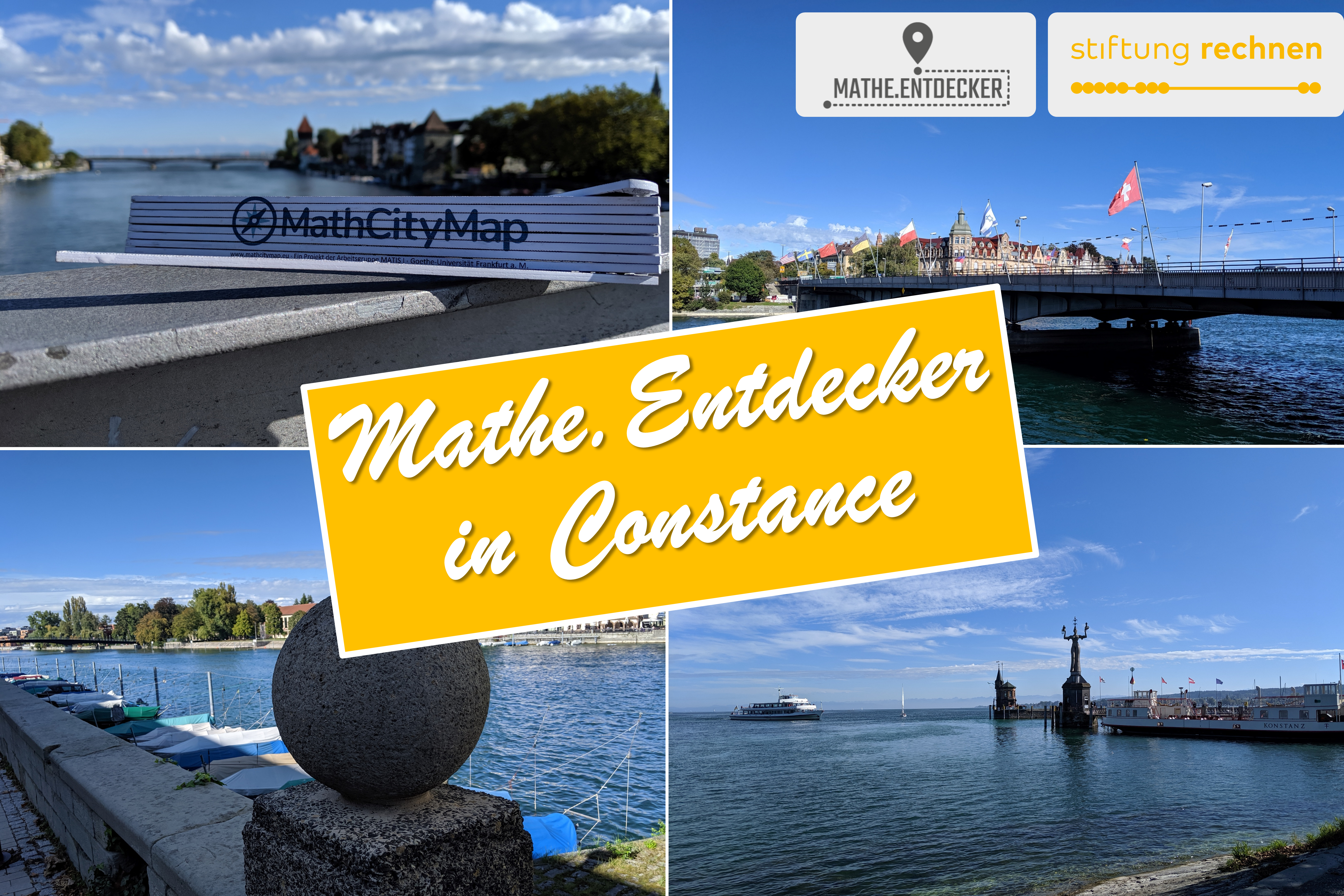
Last October, the MathCityMap team from Frankfurt visited the city of Constance [dt. Konstanz]. At Lake Constance our team is laying out a total of 14 new trails, which will be released today!
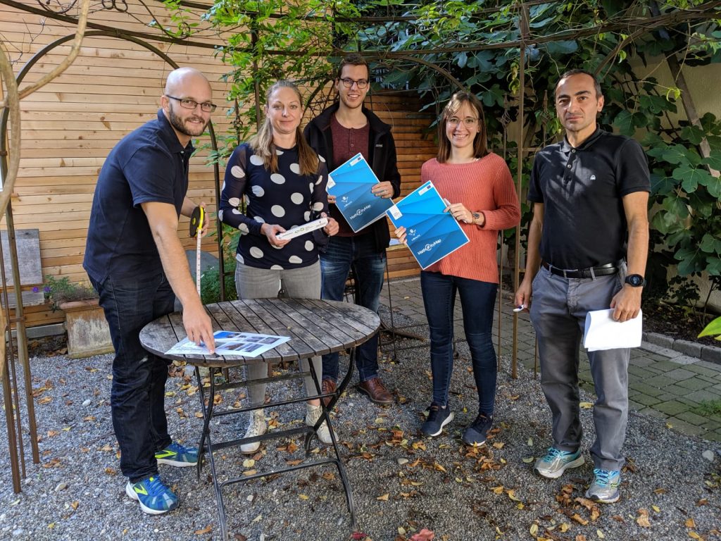
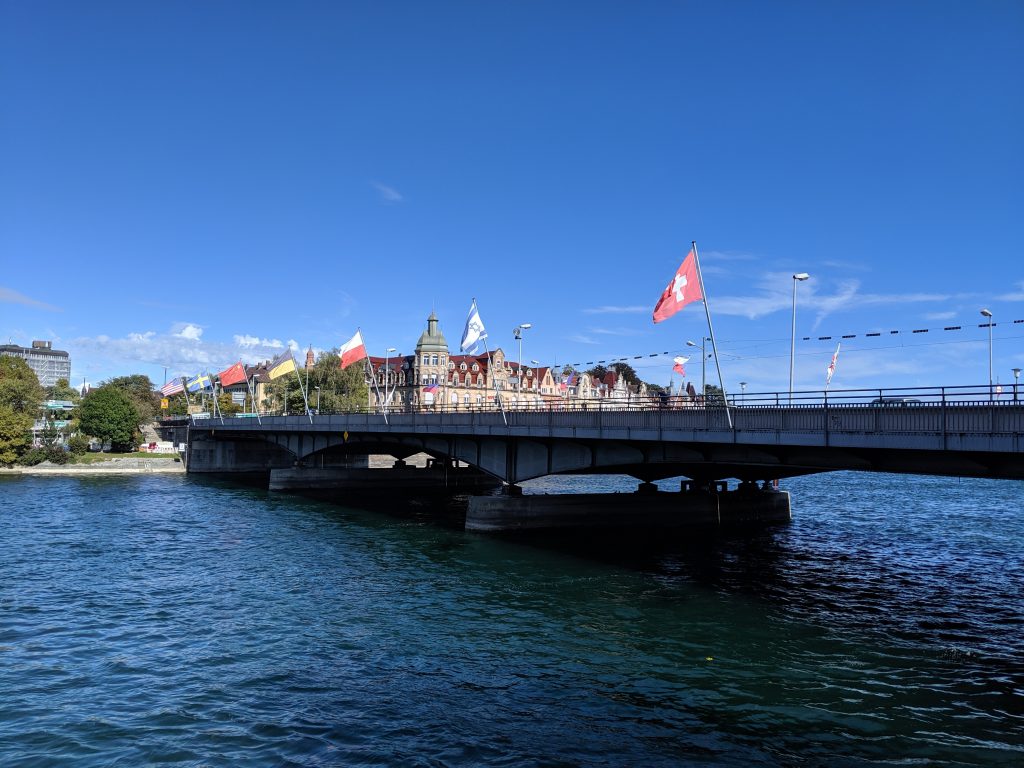
With the support of the Stiftung Rechnen and the city of Constance we have created many interesting math trails for classes and families in the beautiful city of Konstanz. The Mathe.Entdecker trails [engl. Discovering.Maths trails] lead around the harbour, along the Rhine promenade, through the city centre or through the Paradise Quarter. In addition, a “border trail” was created on the German-Swiss border. However, the grand opening with school classes trying out the mathtrails had to be cancelled due to the Corona pandemic. With the following links you can access the articles of Stiftung Rechnen and Marketing und Tourismus Konstanz GmbH about our new math trails.
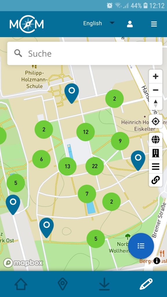
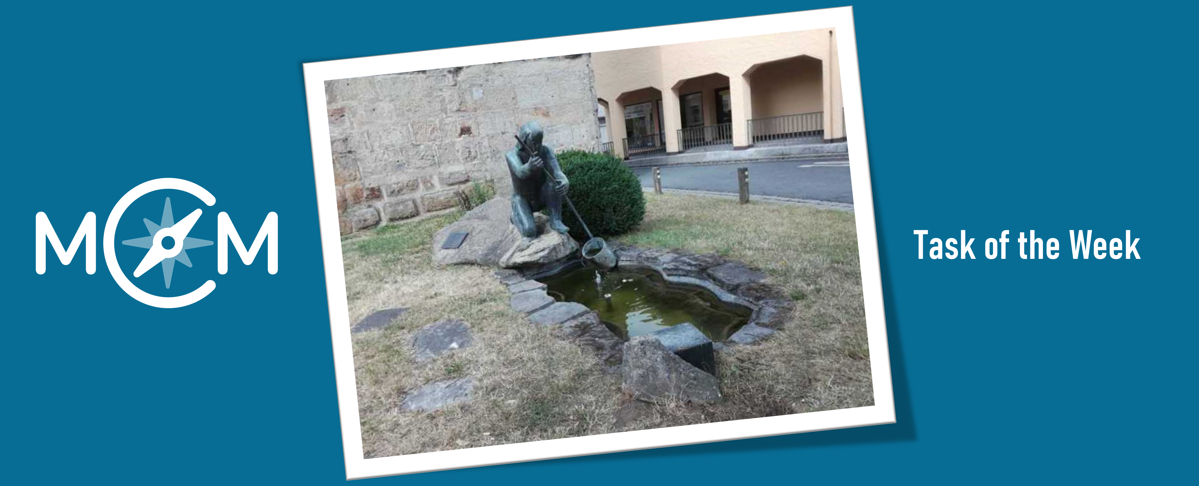
In the following we list all our created trails in Konstanz. We wish you a lot of fun and success!
|
Titel incl. Link |
Code |
Duration| Distance |
|
Konstanz Innenstadttrail |
672257 |
2h 10 min | 1.400 m |
|
Konstanz Hafentrail |
022256 |
2h 20 min | 1.100 m |
|
Konstanz Grenztrail |
492255 |
2h 10 min | 1.700 m |
|
Ein Nachmittag in Konstanz |
352258 |
4h 20 min | 3.400 m |
|
Mathe für Entdecker – Klasse 3/4 |
472261 |
1h 30 min | 1.000 m |
|
Konstanz Familie – Klasse 3/4 |
452260 |
2h 50 min | 3.400 m |
|
Mathe am Rhein – Klasse 5/6 |
472262 |
2h 20 min | 2.200 m |
|
Quer durch Konstanz – Klasse 5/6 |
092264 |
2h 10 min | 1.500 m |
|
Konstanz Familie – Klasse 5/6 |
562263 |
3h 00 min | 3.300 m |
|
Mathe im Paradies – Klasse 7/8 |
292265 |
1h 40 min | 1.300 m |
|
Quer durch Konstanz – Klasse 7/8 |
072277 |
2h 10 min | 1.500 m |
|
Mathe am Rhein – Klasse 7/8 |
192276 |
1h 50 min | 700 m |
|
Mathe am Rhein – Klasse 9/10 |
132259 |
2h 10 min | 1.400 m |
|
Mathe im Paradies – Klasse 9/10 |
132267 |
2h 40 min | 1.900 m |