From February 13 to 14 the “Forum des mathématiques” took place in Marseille. Christian Mercat, professor at the University of Lyon and one of our European project partners (MoMaTrE and MaSCE³), ran a very successful MathCityMap workshop at the Forum: During the congress, his great math trail “Forum 2020” was downloaded more than 400 times. In addition, more than 260 individuals or groups participated in the related Digital Classroom.

Thanks a lot, Christian, for this incredible MathCityMap workshop, which took Marseille by storm!

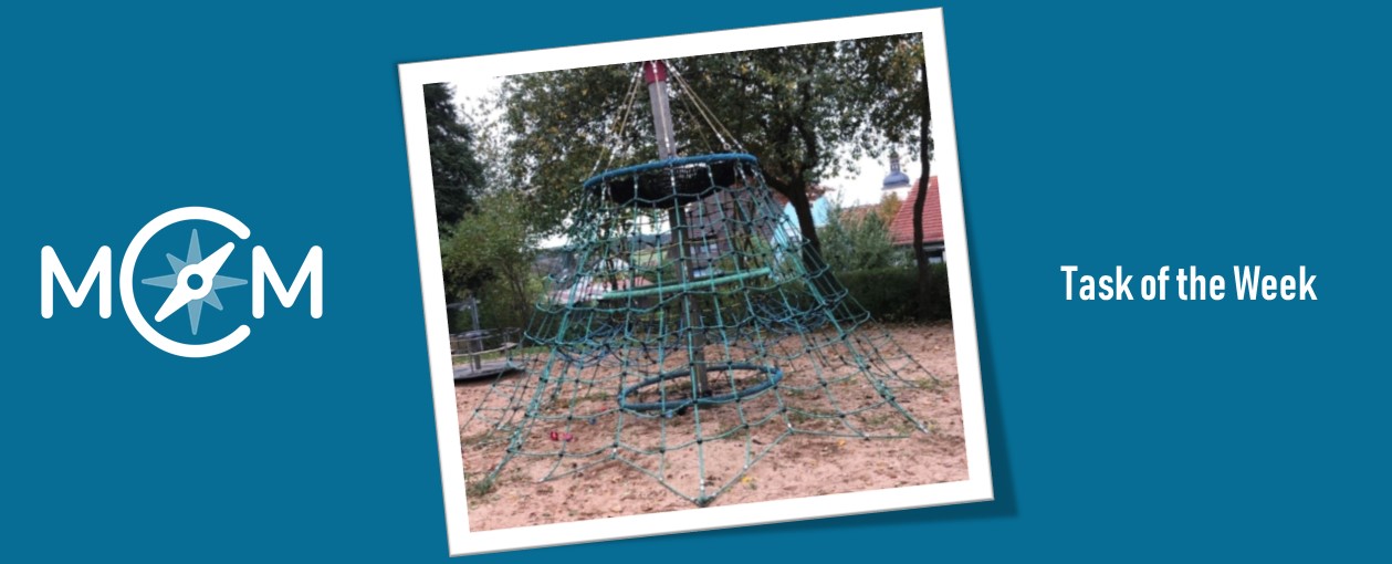
Christian reports on the form: This is the first time a MathCityMap trail was setup in this forum. Prizes were distributed but there was no need for that in order to motivate the participants, hundreds of participants played with the app and opened a scientific eye on the campus around them, figuring out the size of the letters on top of the building, the number of red tiles in a mosaic and so on.

Background information:

“Maths pour Tous” (“Math for All in French”) is an association based in Marseille, backed up by the Aix-Marseille University. They have organised for more than 10 years numerous forums where thousands of people flock to the university or other public venues to enjoy mathematics, accounting for the largest math events in France outside Paris. It consists in Math conferences, workshops, poster sessions, held by students themselves presenting their work during the year alongside top specialists in mathematics disseminating their work to the wider public.

Our Trail of the Month February is located in in Sicilian town Catania. The trail “Percorso in cittadella” [“Trail in the area ‘Cittadella’”] was created by Eugenia Taranto, who teaches mathematics education at the University of Catania. She also works on our European project MaSCE³ [Math Trails in School, Curriculum and Educational Environments of Europe], which promotes the further development of MathCityMap.

Please describe your trail. What differentiate your trail from others?

The trail is called “Percorso in cittadella”. In fact, “cittadella” stands for small town and is the area of the city of Catania where all the science departments are located. The special attribute of the trail is that it contains tasks designed by university students, together with me. In addition, it is located at an area of the city, where unfortunate no MathCityMap tasks had been created before. Having a trail in the university will allow experiencing MCM more easily with those who will attend the department (students and also teachers, who follow training courses). 

How do you use MathCityMap?

During a course of mathematics teaching, I dedicated three lessons on MathCityMap. In the first one, I let them try the app and we had our lesson in the city centre. I divided them into groups and they walked the trail “Palazzo degli Elefanti” [“Palace of the Elephants”]. In the second lesson I presented MCM from a theoretical point of view and I specified the technological functionalities of portal and app. I divided the students into groups and each one had the task of identifying a mathematical object on which to make a math trail task, at our department. Between the second and third lesson, they created their tasks on paper and explained them to me.

In the third lesson, they digitized the task and I created the path with their tasks. The students walked the trail, testing the tasks and writing down feedback which they then shared in class with the task designers. The tasks in the trail were reviewed again and the students walked the trail again. The educational goal I pursued was to make university students aware designers, who will be able to use MCM with their future students. 

Our new Task of the Week is located in Slovakia. In the town Nové Zámky, Aneta Vadkerti created the task “Fountain” and the math trail “Learn something new”.

How do you get in contact with MathCityMap?

A few weeks ago, a colleague of mine told me about this amazing mathematics application, which I could use while teaching. Veronika Bockova, who studies Mathematics in a nearby town, helped me to get familiar with it. When I later used it with my students, they were so excited that it motivated me a lot and I even tried to make my own trail.

Please describe your task.

My task “Fountain” is placed in the city centre, in the pedestrian zone in Nové Zámky, in Slovakia. The question is to figure out the radius of the fountain. As there is usually water in it, you can not just measure the radius. You have to measure the circumference of the fountain. And as the fountain is in a circle shape, you can find out length of the radius by using the formula C = 2πr. To calculate the radius, we use r = C/2π. 

Which didactic aims do you want to stimulate through this task?

This is a kind of procedural task, which can provide students with a good practise of procedures. I focused on the knowledge students already possess. I also intended to stimulate logic thinking and problem solving through experiencing learning in a real-life situation – not only on theoretical, but on practical level, too.

Do you have any other commentary on MathCityMap?

Me and my students love the application MathCityMap. Students are outside, they are moving, breathing fresh air.  There is a lot of group work, brainstorming, they help each other. They learn new interesting facts about the town and its history. And furthermore, they realise the big meaning of mathematics in life.

Our current task of the week leads us to Switzerland. Noah Gass, student of primary education, created the MathCityMap task “Rathaus” (engl. “town hall”) in Liestal near Graz. He answered us some questions about the MathCityMap app.

How did you get in contact with the MathCityMap app?

I am a student for primary education at the Pädagogische Hochschule Nordwestschweiz in Basel. I take part in a didactics seminar about teaching mathematics using digital media for which I created a MathCityMap mathtrail.

Please describe your task. How could students solve the task.

To answer the task, students have to find out how many hours the town hall is opened per week. Except for two days, the opening hours differ from day to day. For example, on one day the town is closed during a lunch break, on others it is opened continuously. First, the students have to calculate the daily opening hours. Then, they can figure out how long the town hall is opened weekly by adding those daily opening hours.

Which didactic aims are stimulated through your task?

To answer the questions, the students have to calculate with full and half hours – they need decimal numbers. Another difficulty is that the time is given in a scale of 24 units. However, speaking about time differs from the “written” digital time – to calculate the opening hours from half past 7 a.m. to 2 p.m. the students have to find out the time period between 7:30 and 14:00 o’clock.

Our current task of the week leads us to the Austrian state Steiermark. In Graz, Rosina Haider and Ursula Skrabitz created many interesting MathCityMap tasks. Professor Haider answered some questions about the MathCityMap app.

How did you get in contact with the MathCityMap app?

During the conference “Forschen. Lernen. Lehren an öffentlichen Orten” in Münster, Germany, I tested the MathCityMap app. Back in Graz, I was able to arouse my colleague’s interest in the app.

How do you use the MathCityMap app?

We use MCM in the context of our teaching at Kirchliche Pädagogische Hochschule Graz. The students of primary teacher training get the possibility to work on a trail. Afterwards, they have to create their own MCM task – at best their own trails – in small groups. The tasks are used in the math class of a primary school which is associated to our university.

Please describe your task. How could students solve the task.

The question of the task „Parkbänke aus Holzlatten“ (engl. „benches out of wooden slats“) is how long a single wooden slat would be, if the wooden slats of six benches were placed one after another. To answer the question, the kids have to count the number of benches as well as the number of wooden slats one bench consists of. Of course, they have to measure how long one of the slats is. Finally, the students should analyse the fictive length of the single wooden slat.

Which didactic aims are stimulated through your task?

The students

  • … find out the number of the installed wooden slats on an individual path.
  • … are able to add and multiplicate mentally or in writing within the range up to 1000
  • … can deal with the unit meter and
  • … are able to get on with their solving process on their own or by using the given hints.

Do you have any other commentary on MathCityMap?

We are enthusiastic about the MathCityMap app and are going to create some more interesting MCM trails.

MathCityMap was honoured as App of the Month by the German Academy for Child and Youth Literature!

The jury explained its decision as follows: “To get to know attractions in Germany [and all over the world] by solving lifelike mathematic tasks: Students of the 4th up to the 11th grade have to measure the necessary values in order to work on the given tasks. The solving process is supported by hints.”

The MathCityMap team is really pleased with this award and starts very motivated in the new year!

Our new trails of the month were located in Mexico. The trails “BUAP 2” and “La ruta Azteca” were created exactly one year ago when the MathCityMap team visited Mexico for the first time. Simone Jablonski, member of the MathCityMap team Frankfurt, answered us some questions about the trails.

Why did you create those math trails? Are there special attributes of those trails?

The trail “BUAP 2” was created for a teacher training with more than 75 Mexican teachers during the TEMBI V conference at University Puebla. Our aim was to give the participants a broad insight into the possibilities of MathCityMap, so we included different geometric topics like calculation on areas, slope of a ramp and height of buildings.

The trail “La ruta Azteca” was created on a free day which we used to visit the historical Aztecs pyramids in Teotihuacán. The pyramids offer great opportunity for calculations of their area and of the slopes of their steep staircases. Especially for tourists and families, this trail offers a great opportunity to combine mathematics and historical objects.

Particularly pleasing is the fact that we were able to create the trails in Spanish. A great help was the translation of the wizard tasks by our Spanish MoMaTrE project partners. It simplifies the use of MathCityMap – especially in an international context – immensely.

Do you have any other commentary on MathCityMap?

I have worked with MathCityMap since 2017 and mostly used it from the author’s perspective. It is great how the math trails motivate students and teachers to do mathematics. Sometimes I get the chance to run a math trail myself and after the first reward with points, I can fully share this motivation!  

We redesigned our app und added some new features which we will present in the following. After starting the app, you will be welcomed by our new, clear structured start screen. Four tiles enable users to navigate through the app intuitively.

  • By using “Browse Trails“ the app shows math trails near by you or at any location of your choice.
  • The button ”Add Trails“ allows users to call up private trails or trails which use our feature Digital Classroom by adding a code.
  • My Trails“ gives an overview about your downloaded MathCityMap trails as well as their completion status: How many tasks of the trail did you solve? In addition, the app provides a map which shows the downloaded trails in the surrounding area.
  • Soon we will release the function ”Manage Trails” which gives registered users the possibility to edit their own tasks and trails via smartphone.


We are looking forward to your feedback!

Our new task of the week lets us discover Ilmenau in Germany where students of Goetheschule created some MathCityMap tasks. In the following, teacher Stefanie Lutz explains the school project during which the tasks were created.

How and why are you using MathCitaMap?

At Goetheschule Ilmenau, my colleague Dörthe Moll and I offered a four-day project using MCM for students in grades 5 to 7. During this project, the students developed these tasks.

Currently, I am using MCM in my mathematics school club. MCM offers the participants a nice change from and an addition to their usual lessons in mathematics.

What are your experiences using MathCityMap?

MCM is very fun and evokes curiosity and interest within the students regarding mathematics. The final product (the trail) makes them proud and they present it enthusiastically to their friends and family.

Describe your task. How can one solve it?

Completing the task “Der Kirchturm” (engl. “The Church Tower”), you must make use of size comparisons. You either have to carry something with you that enables you to estimate the height of the model of the church or you need to bring a measurement tool. As a next step, you need to use the scale to calculate the height of the church tower. You can also use the height or the length of any other building in the miniature town (if you know it) to estimate the height.

What is the goal of the task? What can students learn from it?

The task’s didactic aim is to use a scale outside of a lesson and to make students recognise an authentic, non-constructed practical use of mathematics in everyday life. Completing the task, it is important to round sensibly so that the measurement error stays as small as possible.

Henrik Müller, a grade 12 student, created some MathCityMap tasks in Geiselwind, Germany. One of them – the task “Kletternetz” [eng. “climbing net”] – is our new task of the week

How did you get to know the MathCityMap idea?

I am a grade 12 student at a German Gymnasium. There I participated at the seminar “mathematics in sports and gaming”, where the MathCityMap idea was presented. As part of my seminar paper, I created one trail consisting of five tasks in the German town Geiselwind. Additionally, I examined the aspects of mathematical modelling in school.

Please describe this task type. How the age of the tree could be ascertained?

The task is about the climbing net, which exhibits some complex geometric structures und solids. Especially, the regular base, circles, one pyramid and one cylinder attract attention. We can model the hole solid as one pyramid with a base in shape of an octagon, which is penetrated by a cylinder. By using the formula for the volume of solids and by applying the theorem of Pythagoras the task can be solved.

What are the results of your analysis of school-based modelling?

In my seminar paper, I compared the usage of realistic and traditional tasks. Therefore, one group worked on conventional tasks in the classroom, while another group handled my created MathCityMap tasks. Both groups consisted out of eight students of the 11th grade. The results of my experiment indicate that solving a MathCityMap tasks leads to an increase of modelling competencies as well as to an improved visual thinking. In my opinion, the project could get a fixed part of modelling pedagogy for the reason that using MathCityMap conduce the mathematical understanding of students.