Our Trail of the Month February is located in in Sicilian town Catania. The trail “Percorso in cittadella” [“Trail in the area ‘Cittadella’”] was created by Eugenia Taranto, who teaches mathematics education at the University of Catania. She also works on our European project MaSCE³ [Math Trails in School, Curriculum and Educational Environments of Europe], which promotes the further development of MathCityMap.
Please describe your trail. What differentiate your trail from others?
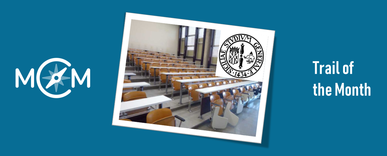
The trail is called “Percorso in cittadella”. In fact, “cittadella” stands for small town and is the area of the city of Catania where all the science departments are located. The special attribute of the trail is that it contains tasks designed by university students, together with me. In addition, it is located at an area of the city, where unfortunate no MathCityMap tasks had been created before. Having a trail in the university will allow experiencing MCM more easily with those who will attend the department (students and also teachers, who follow training courses).
How do you use MathCityMap?
During a course of mathematics teaching, I dedicated three lessons on MathCityMap. In the first one, I let them try the app and we had our lesson in the city centre. I divided them into groups and they walked the trail “Palazzo degli Elefanti” [“Palace of the Elephants”]. In the second lesson I presented MCM from a theoretical point of view and I specified the technological functionalities of portal and app. I divided the students into groups and each one had the task of identifying a mathematical object on which to make a math trail task, at our department. Between the second and third lesson, they created their tasks on paper and explained them to me.
In the third lesson, they digitized the task and I created the path with their tasks. The students walked the trail, testing the tasks and writing down feedback which they then shared in class with the task designers. The tasks in the trail were reviewed again and the students walked the trail again. The educational goal I pursued was to make university students aware designers, who will be able to use MCM with their future students.