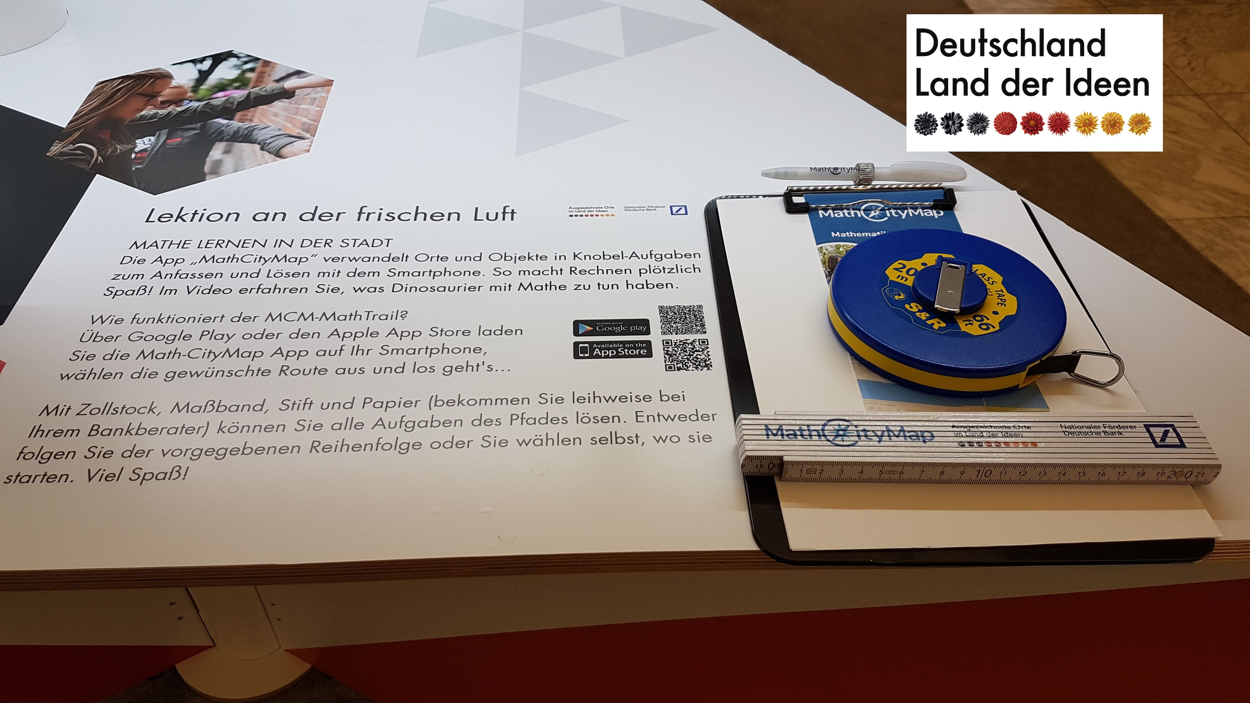
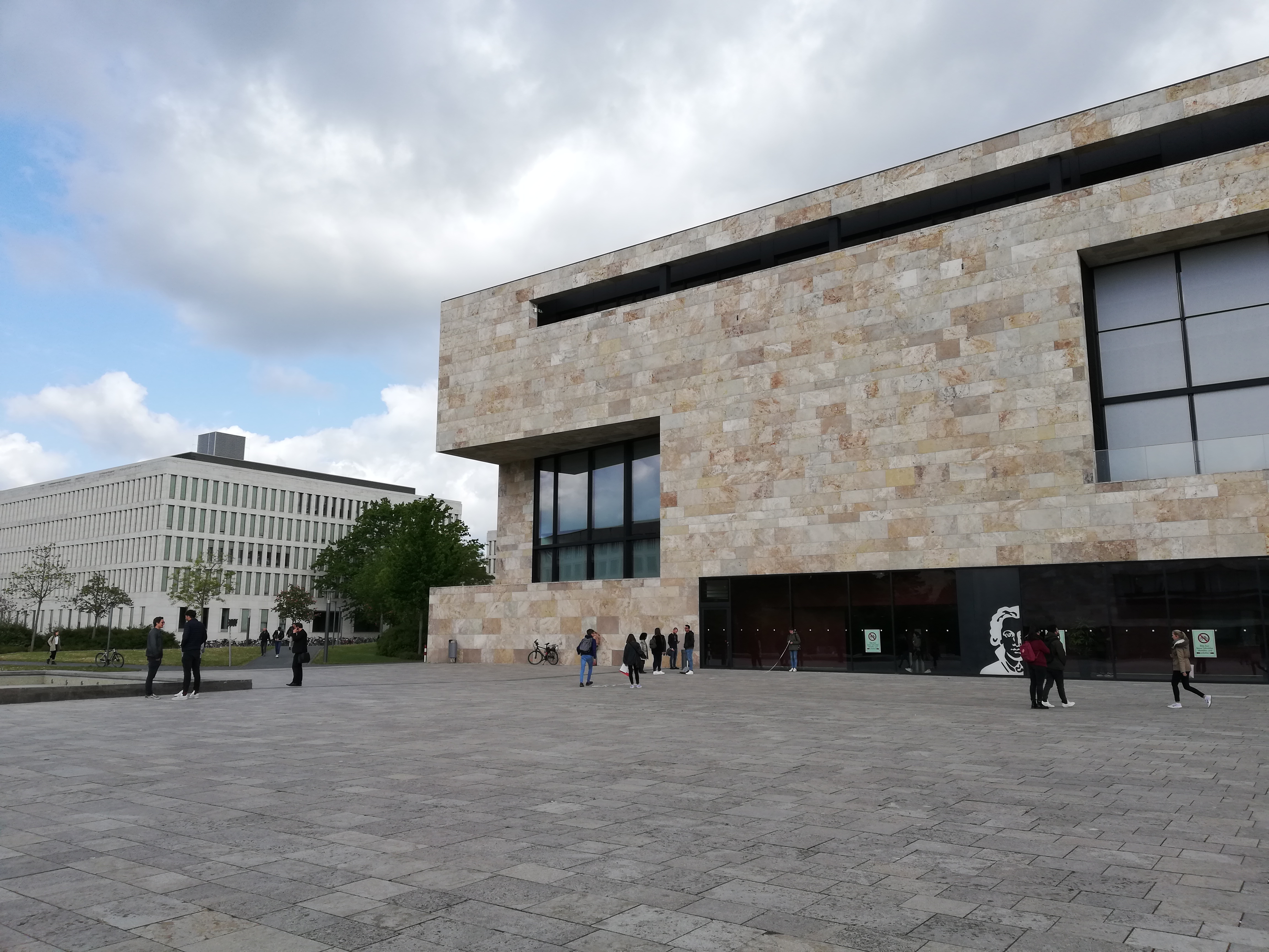
MathCityMap was honoured by the German competition “Land of Ideas”! The projects of the ten award winners are currently presented in a branch of the Deutsche Bank in Wiesbaden.
Next to the exhibition we created two math trails in Wiesbaden. The trail “Land der Ideen WI-kurz” is recommended for students from the sixth grade. To solve the tasks you have to discover the environment around the Marktkirche of Wiesbaden through accurate observing, measuring and counting. For users from the ninth grade we prepared the trail “Land der Ideen WI-lang”.
Check out our new MathCityMap trails in Wiesbaden. Have fun!
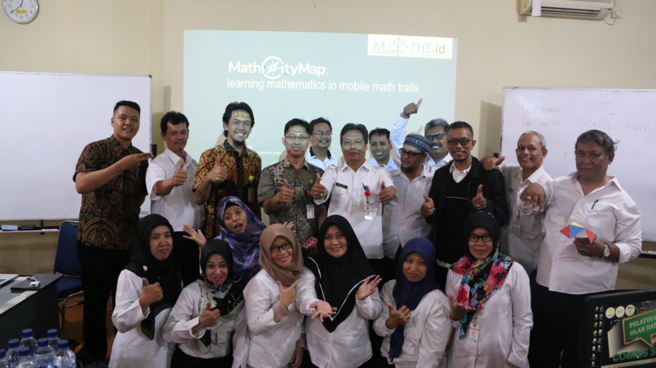
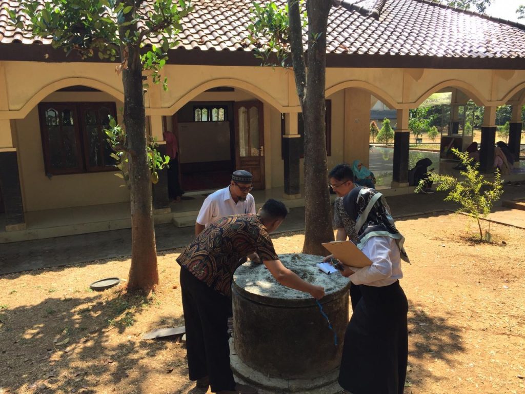
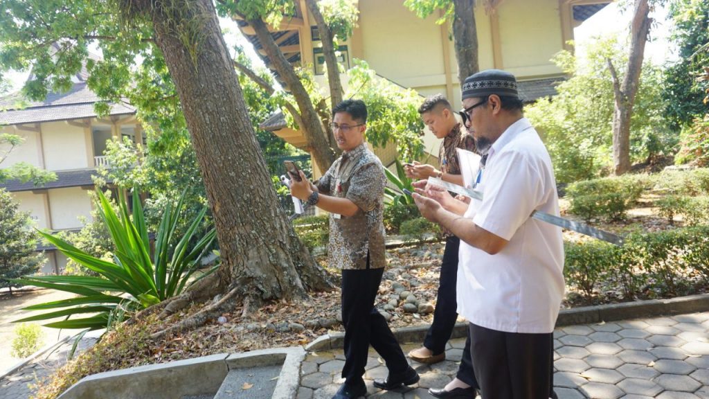
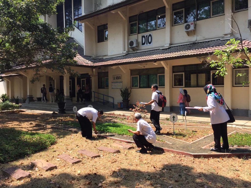
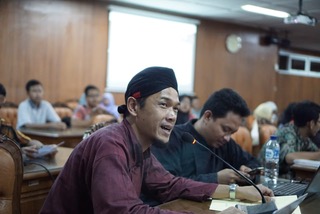
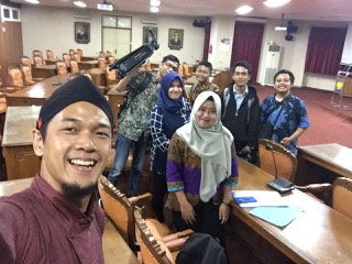
Eighteen Mathematics Teachers at the Junior High School level in the city of Semarang have participated in MathCityMap training organized by the Department of Mathematics at the Semarang State University and Universitas Negeri Semarang (UNNES) in collaboration with IDMI Goethe Universität Frankfurt Germany. The training began on September 4, 2019 and was held at the Mathematics Laboratory of UNNES and the environment around the UNNES campus.
In this 32-hour training, trainees received an explanation of MathCityMap, the theory of developing mobile math trails followed by outdoor practice around campus to try out existing math trails and also create new math trail tasks and routes. Each participant is also required to create at least one math trail route in city park near the school where they work.
This program aims to disseminate the results of research in the field of mathematics education by universities so that it benefits the community, especially schools. In addition, this program is also an effort to support the SmartCity program launched by the Semarang City Government.
At present, in Semarang City several MathCityMap trails are available, such as those available at the Tugu Muda Area, Simpang Lima Shopping Center, Indonesia Kaya City Park, the Old City, the Central Java Grand Mosque Area, and several other locations. Mathtrails with MathCityMap are also available at Taman Pintar Jogjakarta, Kota Padang Sumatera, Kota Palu Sulawesi, Telaga Tujuh Island Aceh, and several other cities.
“This application firstly combines outdoor activities with mathematics tasks. Students can walk mobile math trails for the first time. This is motivating and supports learning.” – Matthias Ludwig, Project Manager.
After MathCityMap was honored as Landmark 2019 in the Land of Ideas in May 2019, the team visited us. On their website, they present MCM with a video and interview. Find most of the contents translated into English in the following part:
Outdoor Mathematics for Scavenger Hunters
Solving formulas, determining vectors, learning the multiplication tables – all this is part of math lessons. And for some it is really annoying. But what if the tasks are posed by smartphone and solved in a team – and outdoors? The MathCityMap (MCM) app sends students in their city on math trails. For learners, this means leaving the classroom, finding their way via an app, solving tasks in different places that are connected to their own reality, receiving direct feedback and – if necessary – using digital hints. This is how math is fun and real. If you want, you develop your own tasks for the MCM portal and its EU-wide community.
Good to know:
There are also paths in Asia and the USA. The app is translated into eleven languages.
9000 tasks can be solved according to the current state.
The community currently has 3200 members. In five years it will be 25,000, which solve more than 100,000 tasks on all continents.
The system will be opened for other subjects and offer additional features.
Three questions to Matthias Ludwig
How did you come up with the idea for your project?
Unfortunately, math learning is not fun for many people. You learn with more joy when the content is connected to life. The environment offers enough learning opportunities. The special places and objects where you can practice math outside should be visible to all interested teachers. Smartphones with GPS technology help to find them. Likewise, hints can be given to the solution and a solution check can be carried out. The tasks are created and exchanged via an affiliated web portal.
Where are you today in the implementation?
The project is being intensively promoted by a European consortium and mainly by the working group MATIS I of the Goethe University Frankfurt. The app and web portal are currently translated into eleven languages; MathCityMap is used by schools and other educational institutions in more than 20 countries. Currently [as of July 2019] we have more than 3200 registered users and more than 9000 tasks in the system that can be used by other users. The range of tasks currently ranges from arithmetic to geometry and functions to stochastics.
Where do you see your project in five years?
MathCityMap will have more than 25,000 members in the community, with more than 100,000 assignments on every continent. At more than 10,000 schools worldwide, trails are created with MathCityMap. Ongoing, international “MathCityMap Educators” are selected who are involved in the project and bring the project idea to teachers. MathCityMap will move forward in terms of technology and offer additional features in the area of learning analytics such as the digital classroom and tasks with augmented reality. We will also develop our content and open the system to other disciplines such as physics or biology.
Update 09.09.2019: The questionnaire of our user survey will be open until Sunday. We appreciate your feedback on MathCityMap to improve the system.
Our web portal and the app went through major changes during the last year. Technically, we implemented new features, the layout changed, the community has been grown and so did the number of tasks and trails. Thanks to you as active members of the MCM community, there are MCM tasks in more than 40 countries! Moreover, we are interested in how you work with the system and what your experiences are. Therefore, we created a little online survey and kindly ask you to participate.
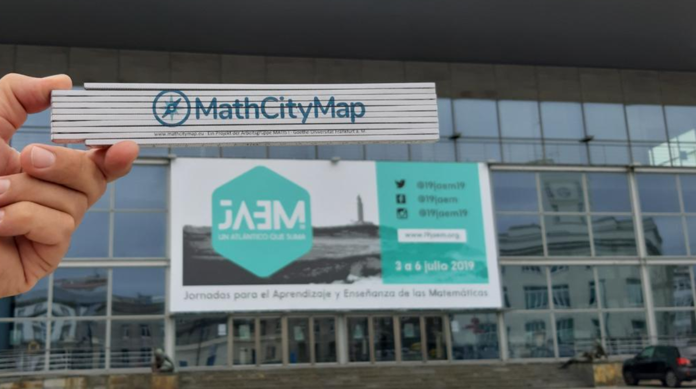
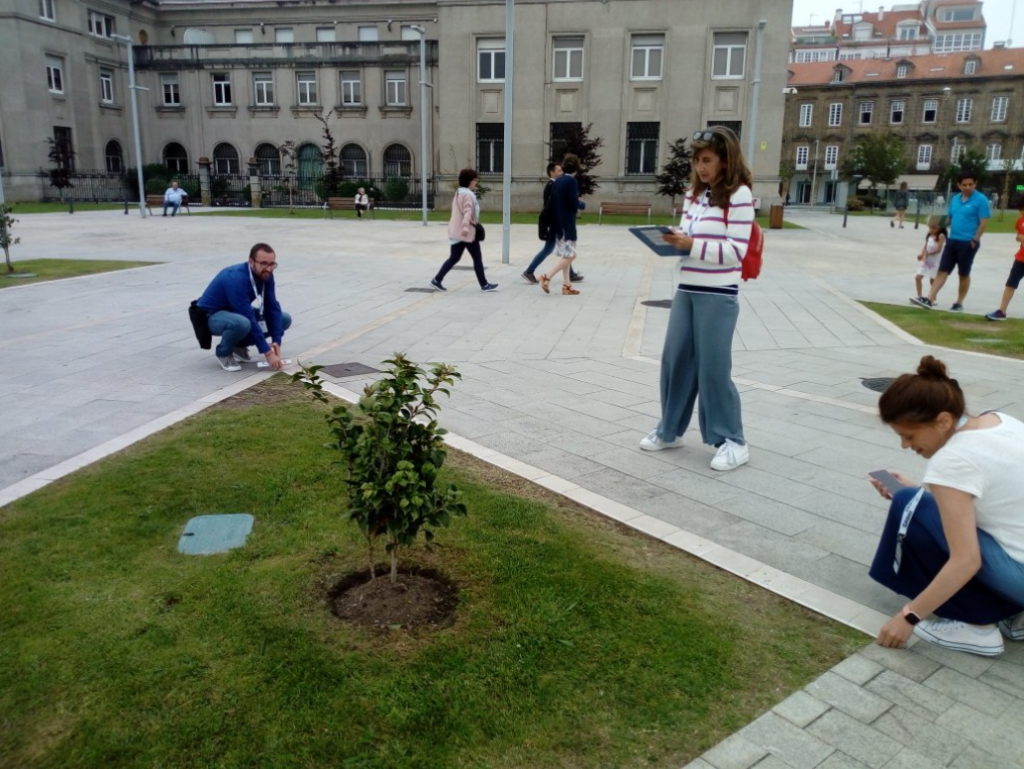
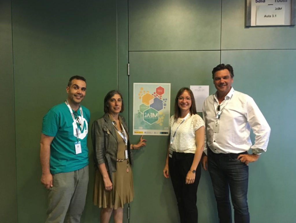
On 4th of July, Matthias Ludwig and Simone Jablonski presented MathCityMap for 40 Spanish Math Teachers at 19JAEM. With a variety of Spanish maths problems, the teachers ran two math trails around the conference building near the harbor of A Coruna.
Obviously, the teachers had a lot of fun while solving the tasks. In accordance, we received good feedback and are optimistic that many new “Rutas Matematicas” will be created in Spain!
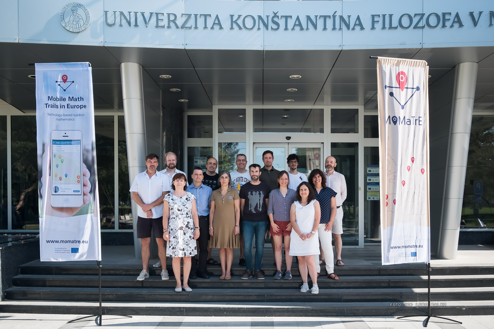
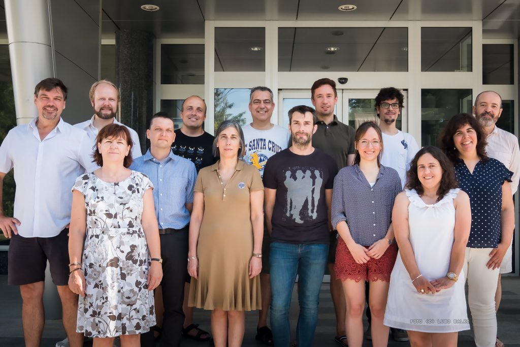
From 13th till 15th June 2019, the third annual meeting of the Erasmus+ project Mobile Math Trails in Europe (MoMaTrE) took place. Being hosted by our Slovakian partners in Nitra, the participants discussed and worked on open tasks and new ideas for the project’s final year.
Many important technical, conceptual and content-based ideas were thematized and exchanged. Also the events for next year were planned. Especially the international teacher training in April in Granada, Spain and the final conference on STEM in June in Porto, Portugal will be two important highlights of the project. Further information will follow!
Apart from the working phases, we also conducted the mandatory Math Trail in the streets of Nitra, visited the castel and enjoyed traditional Slovakian food.
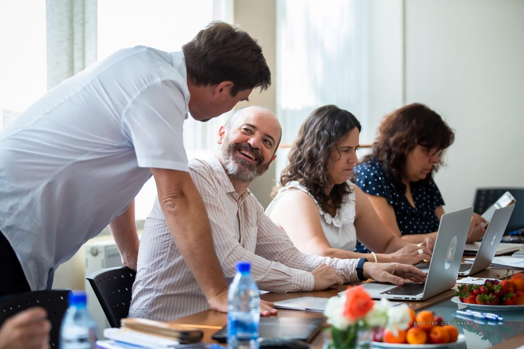
Exchange of Project Ideas
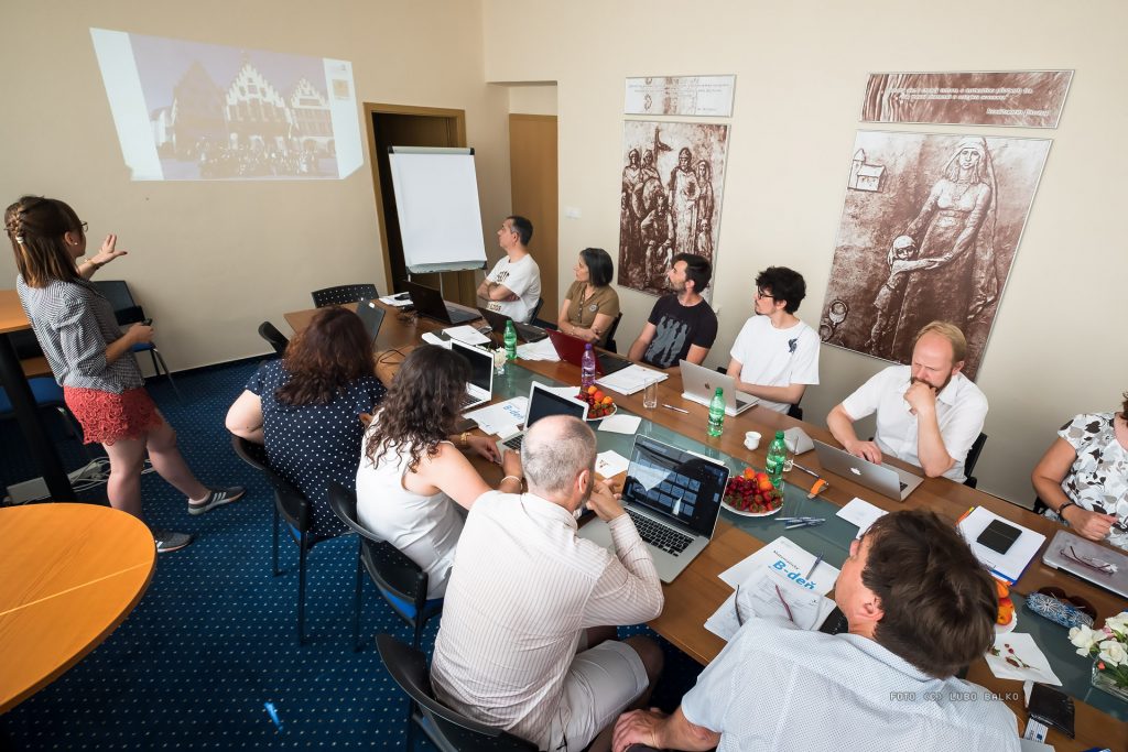
Presentation of the Intensive Study Programme
Measuring for the Math Trail
Group Photo with Partners from Berlin, Lyon, Porto, Lisbon, Nitra, Spain and Frankfurt
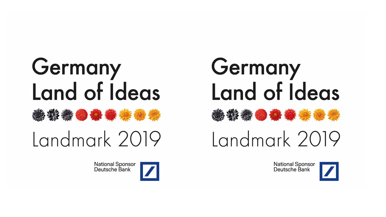
MathCityMap is one of the ten innovative winners of the competition “Landmarks in the Land of Ideas” 2019. According to the annual theme “Digitalising. Revolutionising. Motivating. Ideas for Work and Education in Germany and Europe”, the project shows how future-oriented innovations in the field of education and mathematics lessons can emerge. The initiative “Germany – Land of Ideas” and the Deutsche Bank have been organizing the competition since 14 years.
An independent jury selected MathCityMap out of around 600 applications. We are very pleased with this recognition and would like to thank all members of the MathCityMap community for their dedication and cooperation. This applies above all to our partners in the strategic partnership “Mobile Math Trails in Europe”, but also to many other national and international interested persons and task designers.
Digitization promotes progress
Christian Sewing, CEO of Deutsche Bank, congratulates the winners: “The ten winners of the “Landmarks” 2019 impressively demonstrate how important education and flexible working models are for our prosperity. For us, Deutsche Bank, it is important to make a positive contribution here.” [Translated from German].
Dieter Kempf, president of the Bundesverband der Deutschen Industrie (BDI and president of Land of Ideas e.V.) emphasizes: “Digitization is an important driver of innovation for tomorrow’s state-of-the-art and efficent working. Technical innovations and innovative collaboration projects open up great opportunities, but also make fitting preparations for the next generation and lifelong learning for the challenges of the future.” [Translated from German].
Innovations are promoted
The ten winners are looking forward to a competitive year full of highlights and professional support: “Germany – Land of Ideas” and Deutsche Bank will let the winners benefit from their network. They are invited to professional events in order to network with multipliers from politics and business, to promote themselves with the seal of approval “Landmarks in the Land of Ideas” and thus gain new customers, partners, sponsors and members. As part of the Made for Good Program, mentors from Deutsche Bank advise the award winners on their business plan, financing and communication issues.
Dedicated Partners: “Germany – Land of Ideas” and the Deutsche Bank
“Germany – Land of Ideas” is the joint innitiative of the Federal Government and the German economy, represented by the BDI. Deutsche Bank has been a partner and national sponsor of the competition “Landmarks in the Land of Ideas” sind 2006. The aim is to make innovations from Germany at home and abroad visible and to strengthen the performance and future of the location.
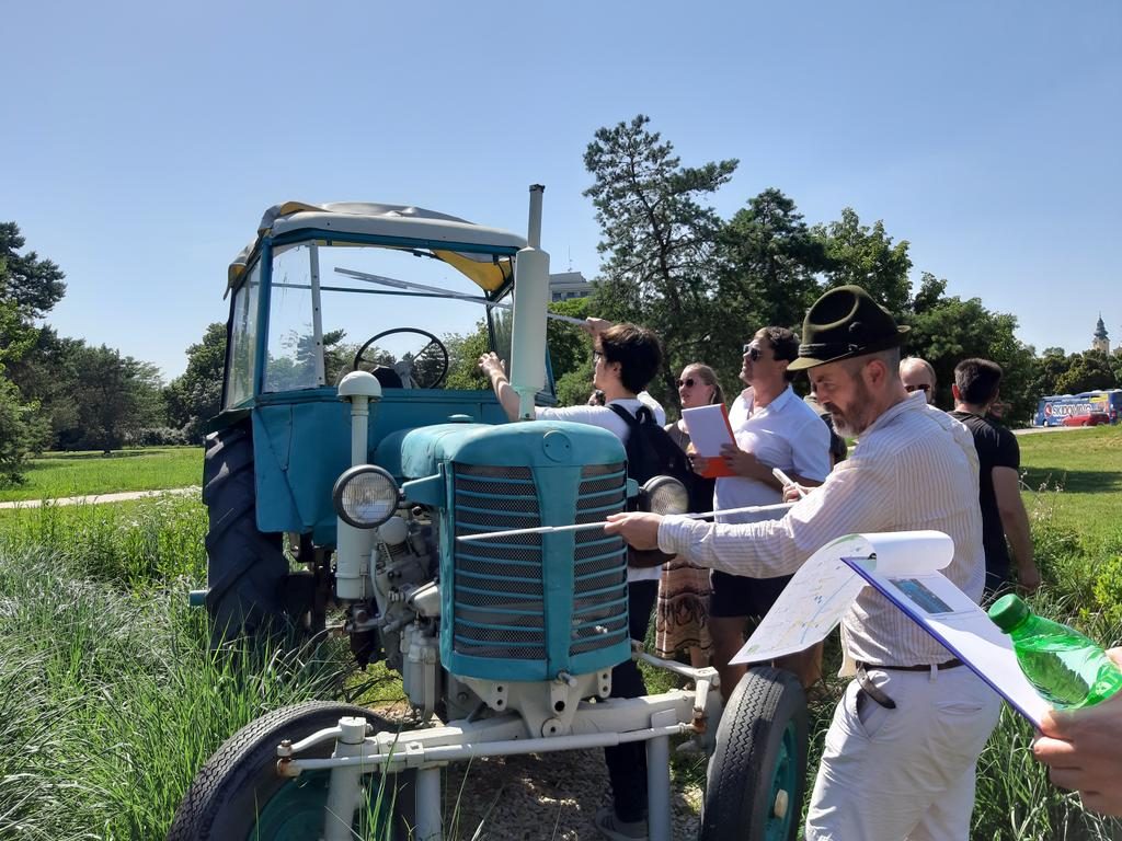
On May, 7th, the students from the German-Spanish student exchange organized by Heinrich-Heine-School in Dreieich were visiting MathCityMap.
After a short technical introduction, the students ran a math trail with MathCityMap at Campus Westend. The mulitlingual groups solved tasks in German, English and Spanish – no problem for the teams!
Not only the German students, but also the guests from Jaén had obviously a lot of fun!
On April 22, there was a small premiere at the University of Semarang, Indonesia. For the first time a lecture took place completely over the Internet and was transferred into several rooms. By invitation of Adi Nur Cahyono (MCM Educator for Indonesia), Joerg Zender gave a lecture on outdoor education in the field of mathematics didactics, introducing MathCityMap and its research findings. In general, the challenges of quantitative research have been addressed and, in particular, the open questions associated with research work have been discussed. After the approximately 90-minute presentation there was still room for questions. The participants were particularly interested in the possibilities to use MathCityMap in class. Most of the questions involved the process of organizing and organizing a mathtrail with MCM, as well as possible topics and response formats that could be used to translate mathematical questions.
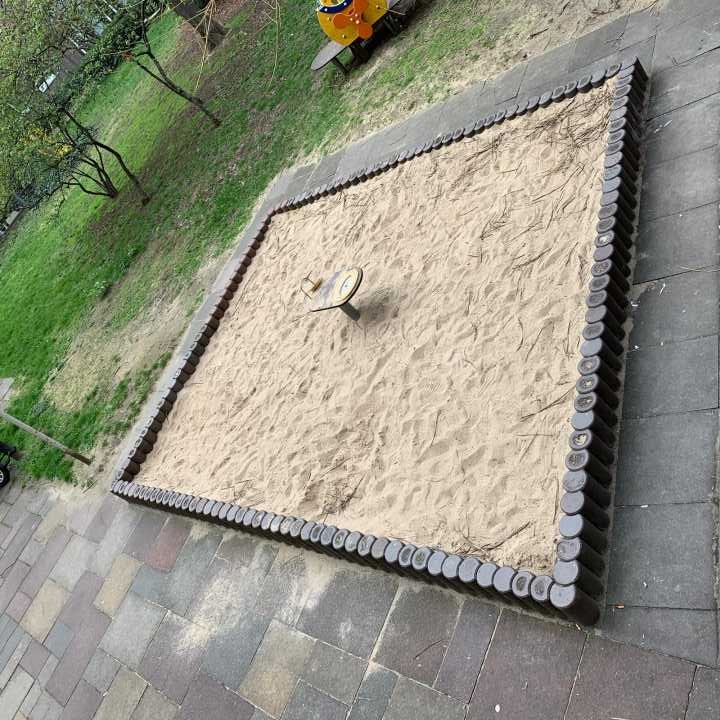
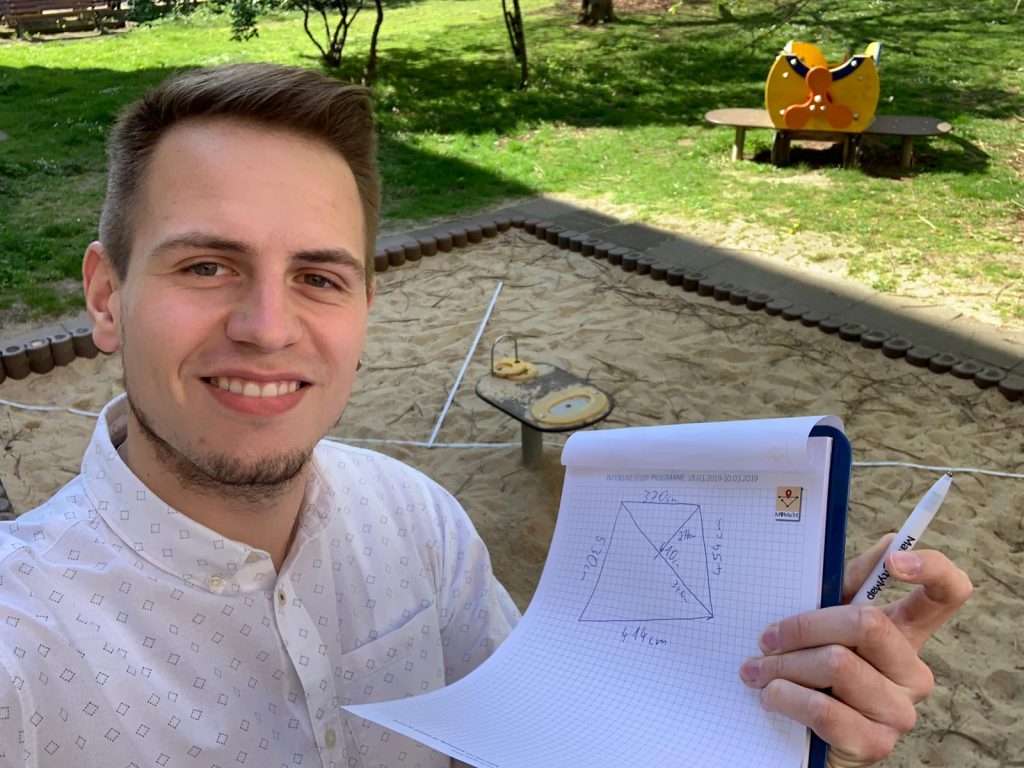
Today, MCM talks with Philipp Larmann about the task of the week in Frankfurt/Main, Germany. He studied mathematics education for secondary and grammar schools at Goethe University and was a participant in the MoMaTrE Intensive Study Program 2019. The task was awarded the Most Mathematical Task Award in the category Lower Secondary. The task was developed in collaboration with Kristína Galová (SK), Silvia Haringová (SK), Maria Joana Monteiro (P) and Clément Guérin (F).
What is the task about?
The task is about a sandbox and the area of its surface, because you want to cover it during the winter. The special thing about the sandbox is that it has the shape of a general rectangle, so it has no right angles and all sides have different lengths. The students who work on this task therefore have to think for themselves how to best divide the surface of the sandbox into well-known geometrical forms, the area of which can then be calculated.
The sandbox needs a cover. Please calculate the area of the sandbox. Give your solution in m².
For what purpose was this task created?
That a right triangle can also be considered as half of a rectangle should be experienced by the students working on the task and it is essential to solve this task at this grade level.
What do you like about MathCityMap?
MathCityMap is a perfect enrichment for math lessons. The learning and working on real objects, the possibility to use elements of gamification, and the versatility of possible tasks are highly motivating for the students. With the use of MathCityMap interesting introductions into new topics can be created as well as well-known contents can be further deepened and practiced.