The current Trails of the Month [there are both a Portuguese and an English version], were created in Porto, Portugal. Our MoMaTrE-Partner Ana Moura gave us an interview about the trails, MathCityMap and the ErasmusDay.
Please describe your trail. What differenciate your trail from others?
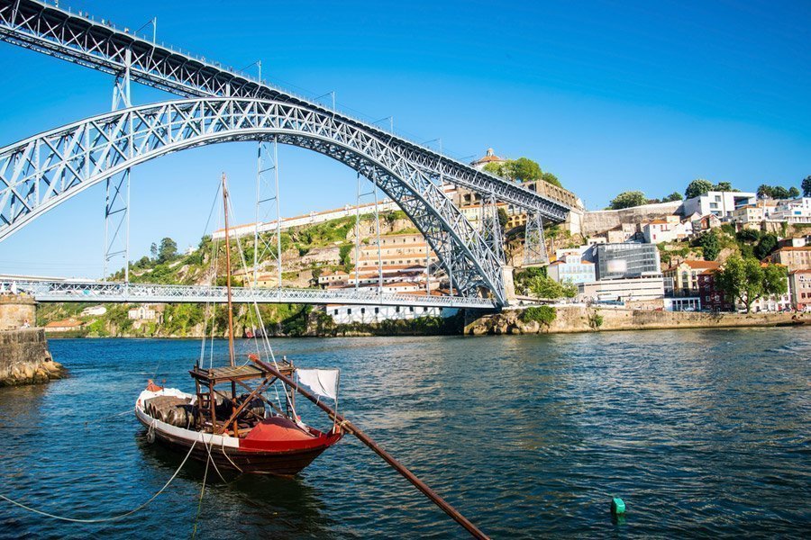
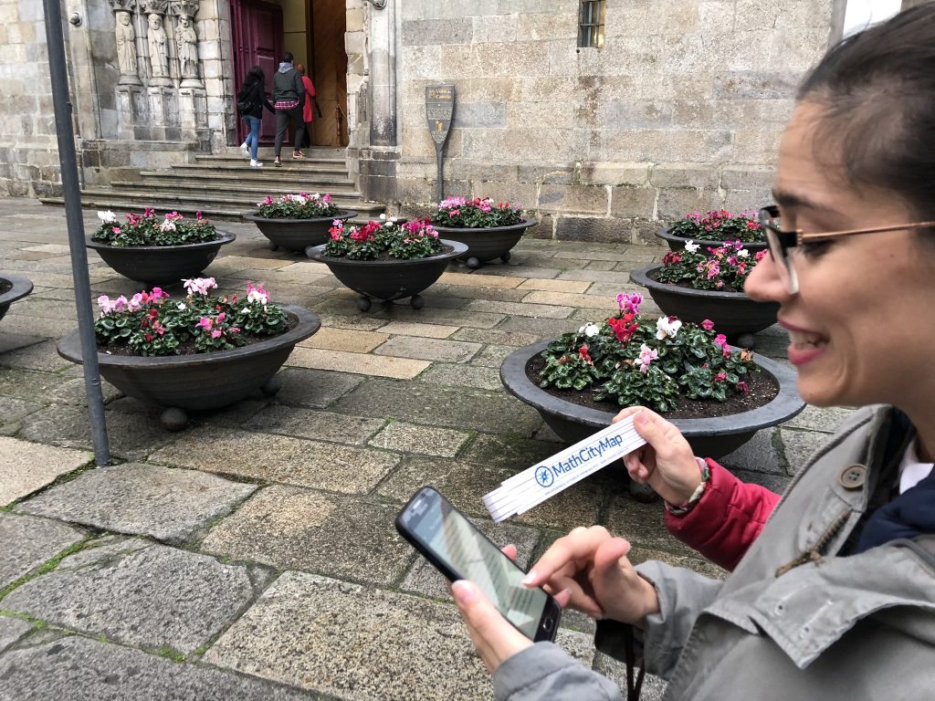
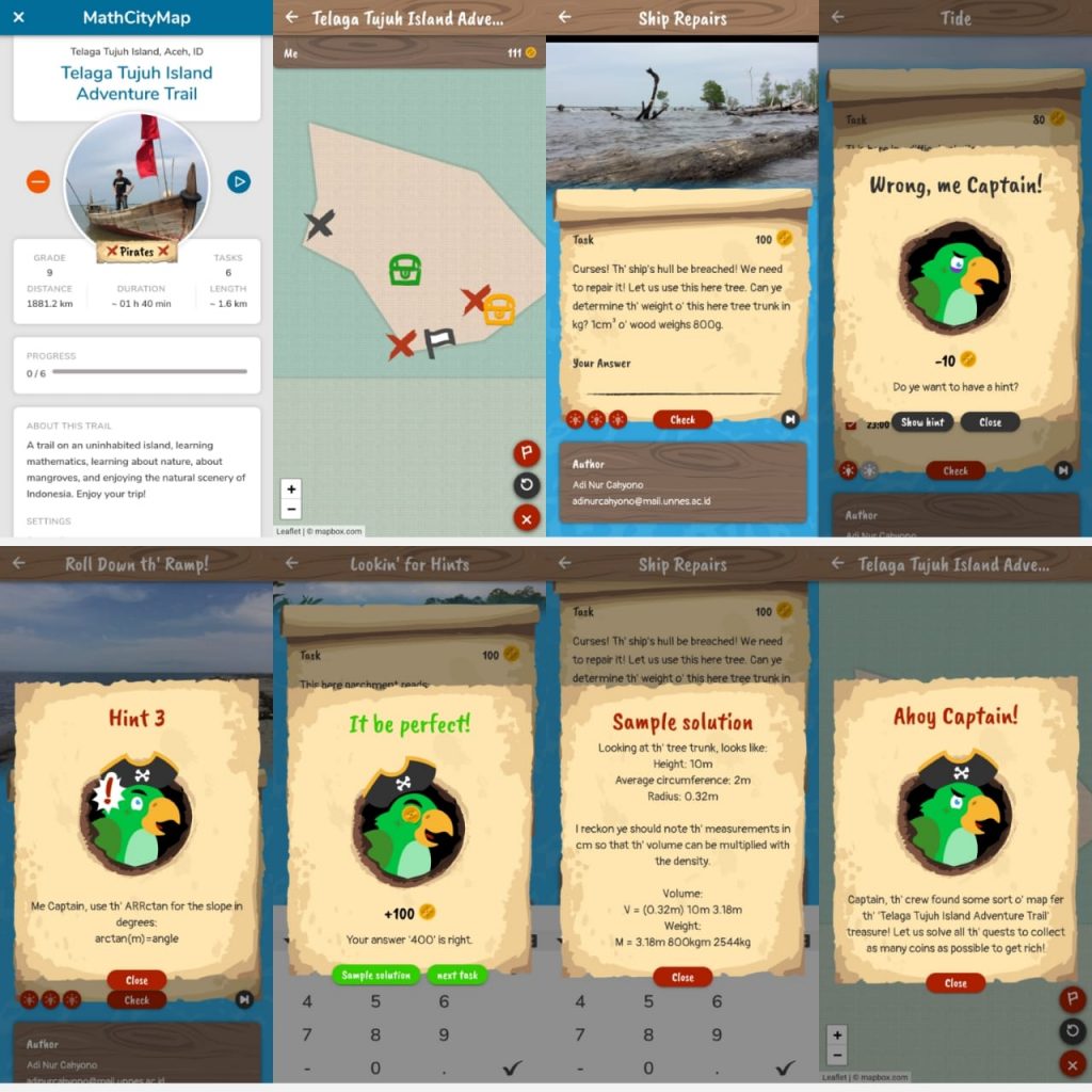
This route is located in the Romantic Gardens of Palácio de Cristal, one of the most beautiful gardens in the city of Porto. It was laid out in the 19th century and has an area of approximately 8 hectares, where we also can admire the magnificent panoramic views of the Douro river and the city. It is an almost circular route, which allow us to visit various charms of these gardens. The mathematical challenges involved run through several school levels, which intend to be inclusive to all elements of a family.
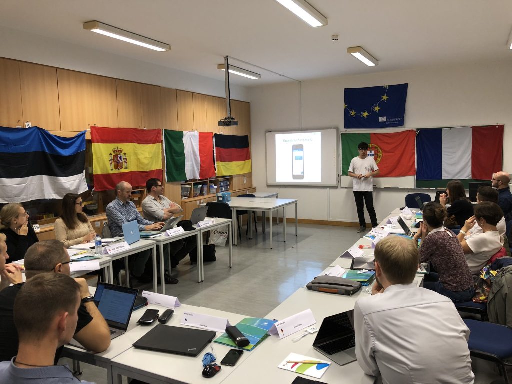
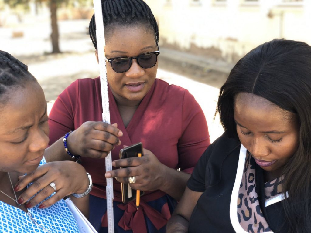
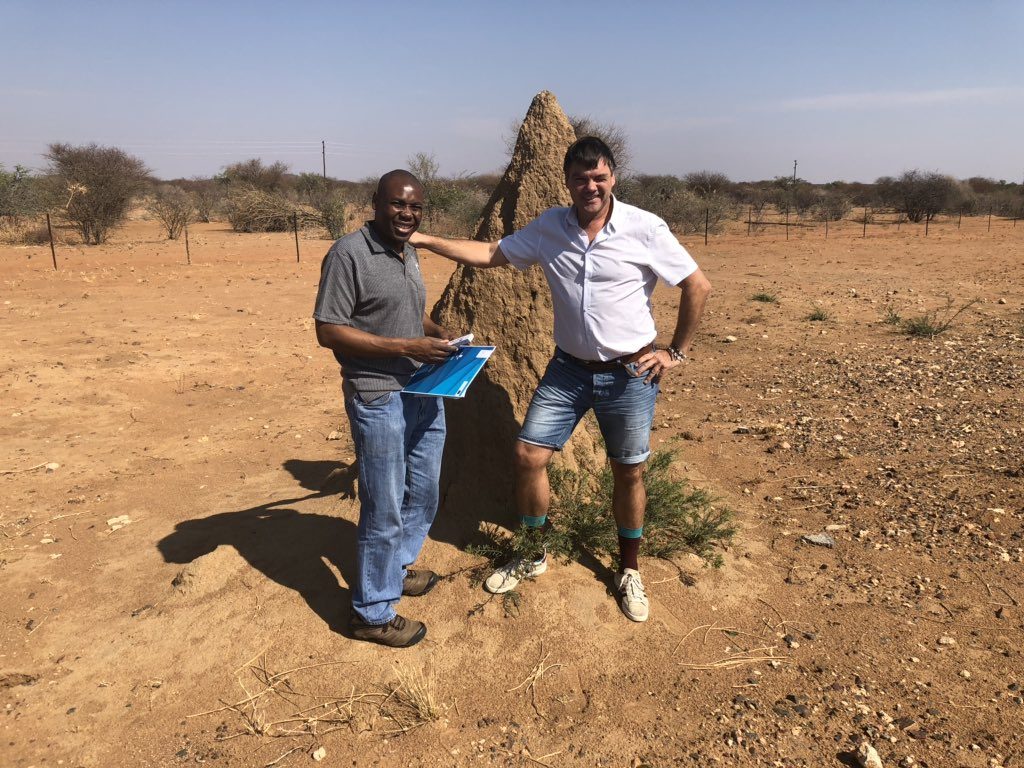
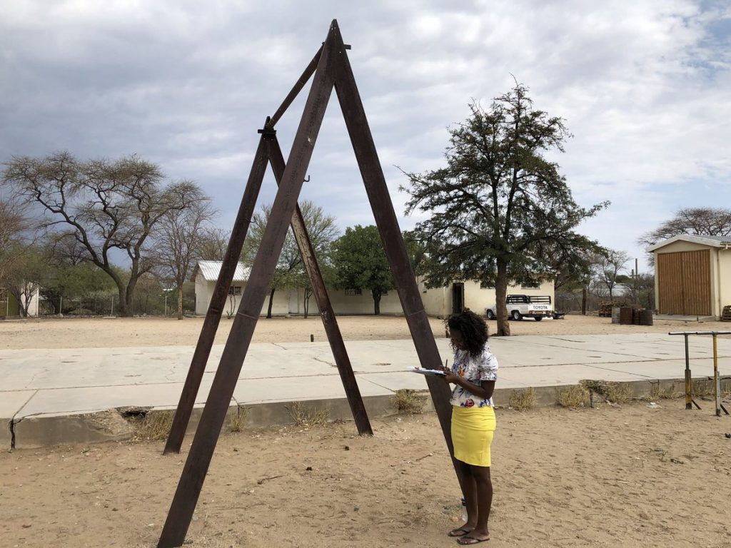
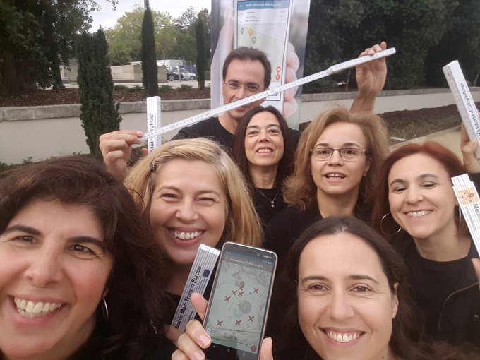
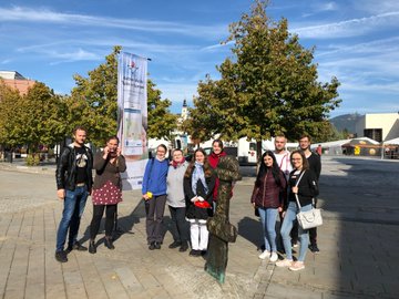
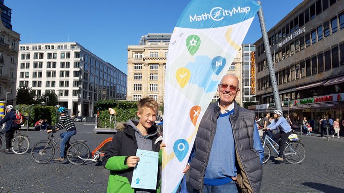
Please describe how your team presented MoMaTrE and MathCityMap on ErasmusDay. How many people tested MathCityMap?
The ErasmusDay event was publicized by some internet channels, namely those of one of the partners in the MoMaTrE project, the Polytechnic of Porto – School of Engineering, as well as in some social networks. MoMaTrE and MathCityMap were presented as, respectively, a project and an app that promote and assist in creating and conducting mathematical walks in this digital age [click here for more information]. We estimate that around 50 people participated in the city of Porto. They tested the app in groups, either in pairs of friends or father/mother and child, or in groups of students or families.
Why did you use the pirate narrative for this trail?
The option to use the narrative was to create more engagement in the younger ones, and to show the app’s versatility in the older ones.
Do you have any other commentary on MathCityMap?
MathCityMap brings together and cooks in a natural way three ingredients of our century: the digital age, the concern with the fight against sedentary lifestyle and the promotion of outdoor life, and the use of innovative teaching methods, particularly, in Mathematics.