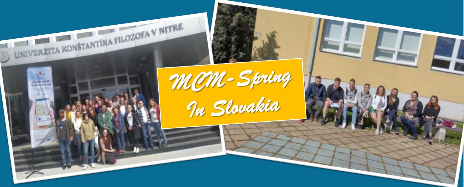
Spring with warmer temperatures and sunshine has reached many parts of Europe. So it’s high time again to do mathematics outside and explore your surroundings with mathematical eyes. The steadily growing MCM community in Slovakia took this thought to heart in April and carried out a wide range of activities, which we would like to report on in more detail below.
It started on April 6, when the Student scientific conference, a joint scientific event of the Faculty of natural sciences and informatics (FNSaI) of the Constantine the Philosopher University (CPU) in Nitra, Slovakia and the Faculty of natural sciences of the Matej Bel University in Banská Bystrica, Slovakia, took place. The graduated student Silvia Haringová won the section Professional didactics II with the paper: The importance of including math trails in teaching.
Veronika Bočková and Silvia Haringová, graduates of the Mathematics Department of the FNSaI CPU in Nitra, visited the lower secondary school in Nové Zámky on April 8, where they prepared a math trail for grade 5 students together with math teacher Elena Závodská. An open lesson for primary and lower secondary math teachers will also be held there, where all fifth graders will complete the trail.
On April 12, Silvia Haringová and Janka Medová went to Nemšová, where primary and lower secondary math teachers were trained in designing and implementing lessons with MathCityMap.

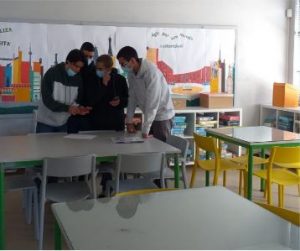
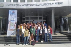
On April 14, a training workshop on MathCityMap paths for primary, secondary and university teachers was held at the Faculty of Science and Informatics in Nitra. Thirty teachers registered for the event. In the first block, teachers received the basic information about MathCityMap and became students again for a while when they tried a math trail themselves. In the second block, the teachers learned how to create the trails in the MathCityMap portal.
The EME 2022 conference – New challenges in mathematics education in primary school – was held in Liberec, Czech Republic on 21-23 April. At the conference, PhD students Silvia Haringová and Veronika Bočková presented the paper: Mathematical trails as a tool to stimulate teacher cooperation. They also created a trail on the campus of the Technical University for pre-service teachers and conference participants to experience.

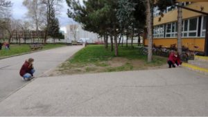
At the end of the month, on April 26, a group of student teachers from the Physics Department of the University of Pilzen visited the University in Nitra. In the atrium of the Faculty of Science and Informatics and in the center of Nitra, they were introduced to the MCM system and were also able to try out a Mathtrail.

The coming months will also be interesting in Slovakia. The design and implementation of trails in the town of Bánovce nad Bebravou is already planned for May and mathtrails will also be created in Poland. In addition, the University in Nitra is working with mathematics teachers as part of the national project KEGA Cooperation, a project for the professional development of mathematics teachers, and aims to use Mathtrails and MathCityMap specifically for this purpose.