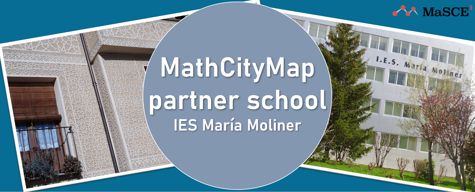
We are very pleased to welcome the first Spanish MathCityMap partner school to our ever-growing network of partner schools! The “IES María Moliner” in the city of Segovia, north of Madrid, successfully went through the application process initiated by math teacher Sonia González Pascual.
In the following short report Sonia González Pascual describes the created trails at her school and she presents her experience with MathCityMap so far.
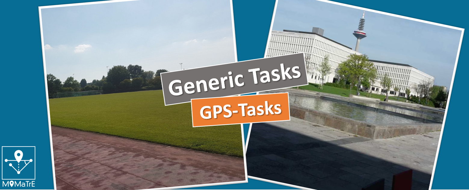
“At the moment we have two trails for different grade levels near our school, with
a total of 15 tasks created by myself.
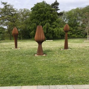
These trails are designed for students ages 13 to 17. One of them “Volúmenes entorno al Acueducto”, can be used to practice calculating the Volumes of some simple three-dimensional figures to practice. In a fantastic historical setting students can calculate the volumes of stone figures they find while discovering the Roman aqueduct of Segovia: piramids, prisms, spheres, truncated cones… It is necessary to use a tape measure or something similar. Since it can often be difficult to find an exact solution, I often use the “interval” answer format.
The other trail “Frisos en pocos metros”, takes advantage of another important feature of our city: the “esgrafiado” or sgrafito. This is an architectural ornamental technique used to decorate plaster and wall coverings.
Stencils with serial geometric motifs are often used. In the trail, students have to look for plane movements in some sgraffito or window and balcony railings for example reflections or rotations. They learn about subgroups of isometry, often using the multiple choice format to enter the answers.
It is important to cross-link the knowledge that was acquired in a previous session in the classroom. Students are actually very motivated with the MCM app. The use of the cell phone, the search of the tasks via GPS and the possibility to leave the school make MathCityMap a very interesting learning environment.
I have already used our trails with MathCityMap with different students of different ages and they have rated it very positively. I have also shown the app and especially my trails to a group of math teachers. My goal is to bring this app and its possibilities to as many people as possible.”
The package with the official partner school plaque and the MCM measuring instruments is already on its way to Spain and we are very much looking forward to receiving more applications from all over the world.
All further information about the partner school program and the requirements for the application can be found in the article about the first MCM partner school as well as on the homepage of our project MaSCE³.
![Maintenance work on 22.06, 09:00 – 10:30 hrs [DONE]](https://mathcitymap.eu/wp-content/uploads/2021/07/Wartung_eng-1-scaled.jpg)