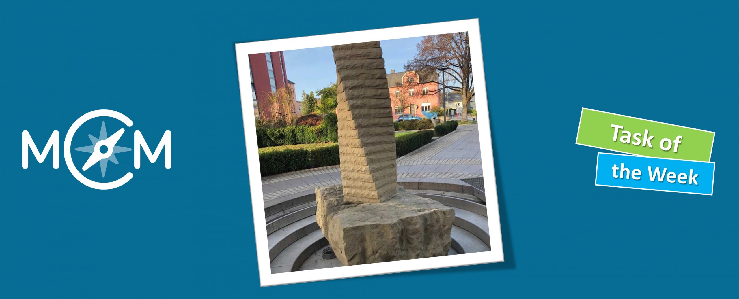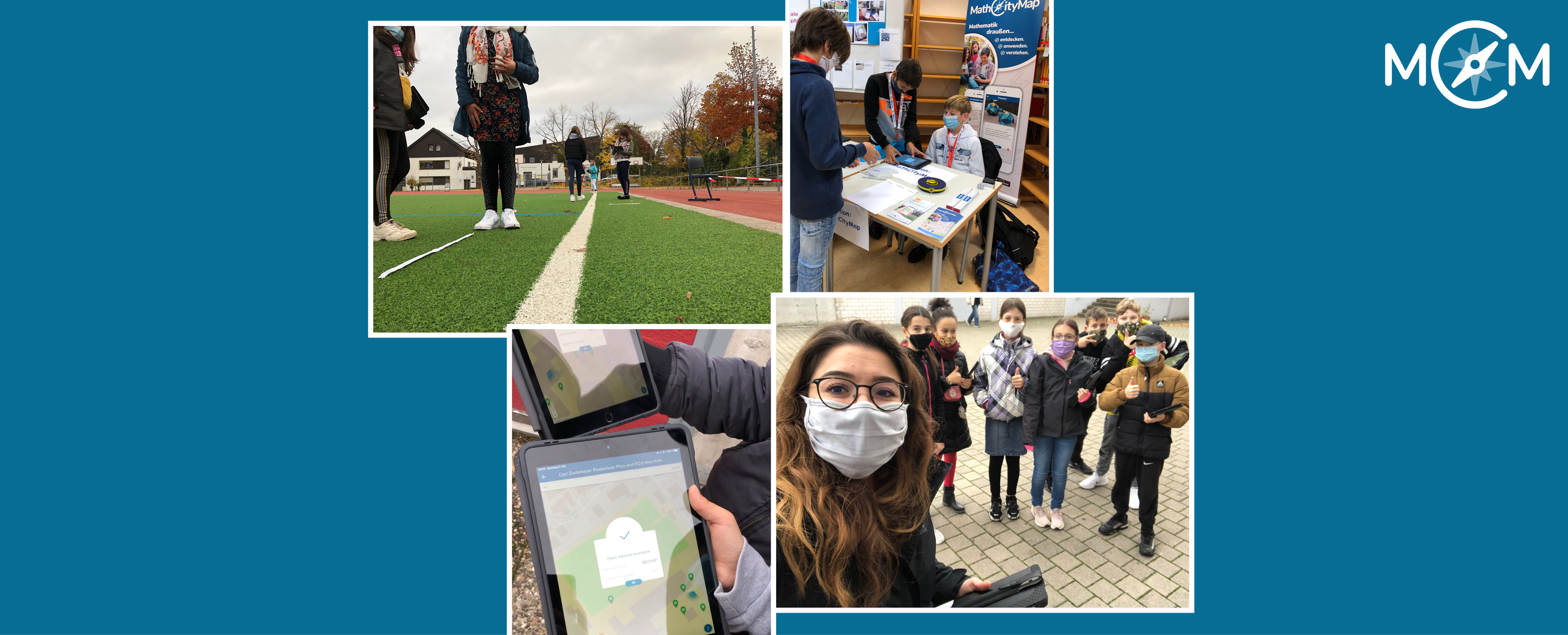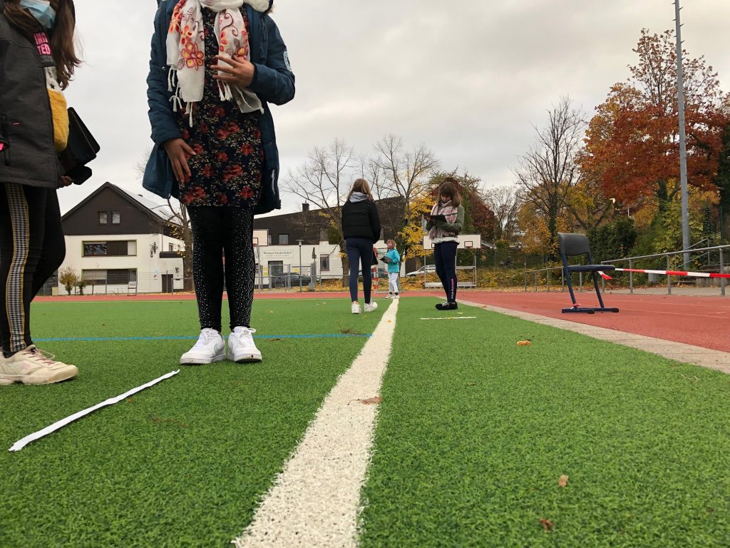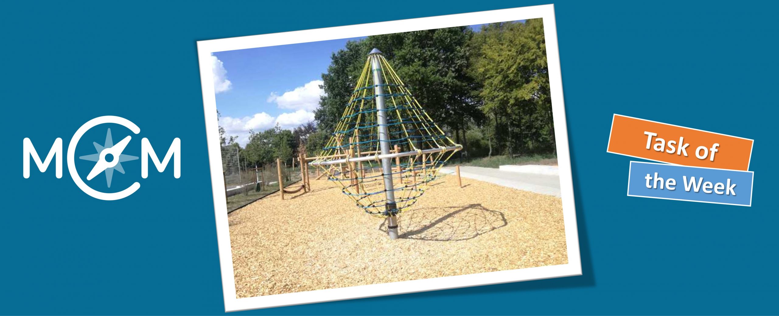
Patrick Rommelmann has created our new task of the week on the schoolyard of the Regenbogen-Gesamtschule Spenge – the task “Climbing Frame”. The task is located in the theme-based math trail “Route RGeS”, which focuses on the repetition of cylinders. Mr. Rommelmann has already tested the trail with a 10th grade class.
How did you come across the MathCityMap project? How do you use
MCM and why?
I became aware of the MathCtityMap project during my mathematics didactics training at Bielefeld University. At the university, a math trail has already been created, which I worked on in a seminar.
In the seminar for writing my master thesis the MathCityMap project came up again and I decided to create a math trail and test it with a school class. After positive feedback, I have now published the tasks so that other teachers can work on the math trail with their classes.
Describe your task. How can it be solved?
In this task, we are to determine the length of the lowest blue rope. The beauty of this task is that there are different possible solutions. The rope forms the shape of a circle. Therefore, the radius of the circle can be measured and then the circumference of the circle can be calculated.
A more intuitive solution option is to measure the entire circumference of the circle. However, this can take quite a long time if the many, individual sections have to be measured one after the other. A clever variant can be chosen here if only one section is measured and this is multiplied by the number of all sections.
What didactic goals are you pursuing with the task?
In particular, the variety of solutions should create an openness of the task. Open tasks are particularly well suited for heterogeneous learning groups, which are also increasingly found at this comprehensive school. In addition, the MathCityMap task had the typical didactic aspect of modeling on real objects.
What other tasks could be investigated on this exciting object be investigated?
Starting with questions about the circle, further questions about the shape of the climbing frame as a cone could arise at the climbing frame. In addition, the pole to which the climbing frame is attached could also be investigated. The pole has the shape of a cylinder, so for example with given density and weight, the length of the pole could be determined. The result could be used to check how secure the climbing scaffold is in the ground. Of course, the necessary information would have to be obtained beforehand.
Further comments on MCM?
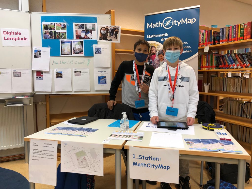
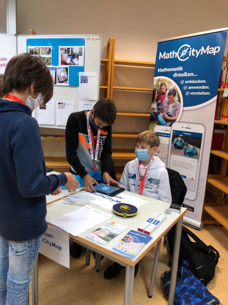
As you can see from this nice example, mathematical questions can be found on many objects in our world. With MathCityMap, an app has been created that can successfully establish the application connection of mathematics to the objects.