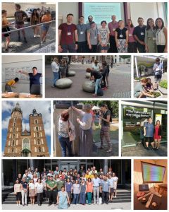
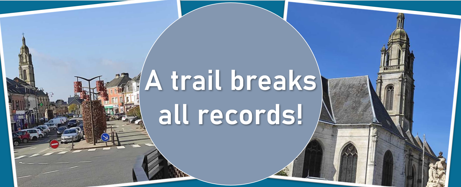
In the summer of 2022, several events, such as conferences and so-called summer schools for young scientists, took place all over Europe on the topics of development of mathematics education and research in the field of mathematics education. Several of them were attended by the staff of the Department of Mathematics of the Faculty of Mathematics of the University of Constantine the Philosopher in Nitra, as well as by teachers and students of various disciplines of the University of Constantine the Philosopher in Nitra. The aim of the visit was, among other things, to make MathCityMap better known in Europe and to present the latest findings on the use of MathCityMap in the classroom.
In the following report, Janka Medová, Veronika Bočková, Soňa Čeretková and Silvia Haringová present the activities of the Slovak MathCityMap Summer:
The first of the summer schools, Socio-scientific Issues in Mathematics and Science Initial Teachers Education: Join a unique intercultural experience preparing you for the future classroom! was held on 15-24 June 2022 at the Faculty of Education, Charles University in Prague, Czech Republic. Soňa Čeretková prepared and facilitated a workshop including MathCityMap trails named Preparation of teaching with the use of innovative teaching methods and outdoor teaching with the support of digital technologies. The summer school was organised within the Erasmus+ ENSITE project (https://icse.eu/ensite/), as was the summer school Dealing with environmental issues in science education – Deepening future science and maths teachers’ learning by teaching. A two-day workshop on MCM trails as a tool for developing awareness of environmental issues was prepared in Varna by Janka Medová and Veronika Bočková. The summer school took place in Varna, Bulgaria, 31 July-11 August 2022 and was organised by the Institute of Mathematics and Computer Science of the Bulgarian Academy of Sciences.
At the summer school for graduate students and early career researchers Intensive training school in qualitative research design and research methods in mathematics education supported by European Society for Research in Mathematics Education (ERME), held in Nitra on 29 June – 1 July Silvia Haringová referred about her work with teacher in co-designing and teaching the MCM trails.
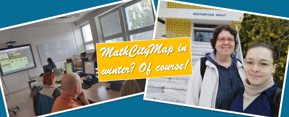
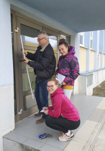
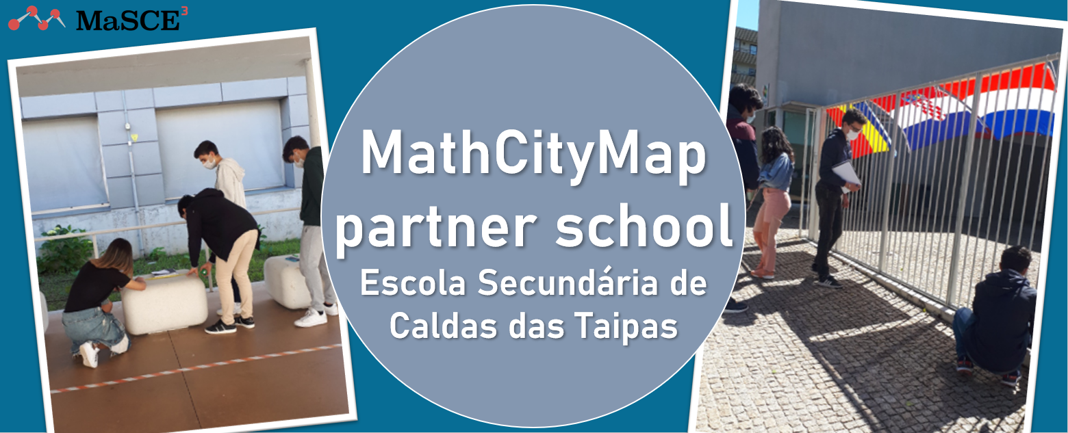
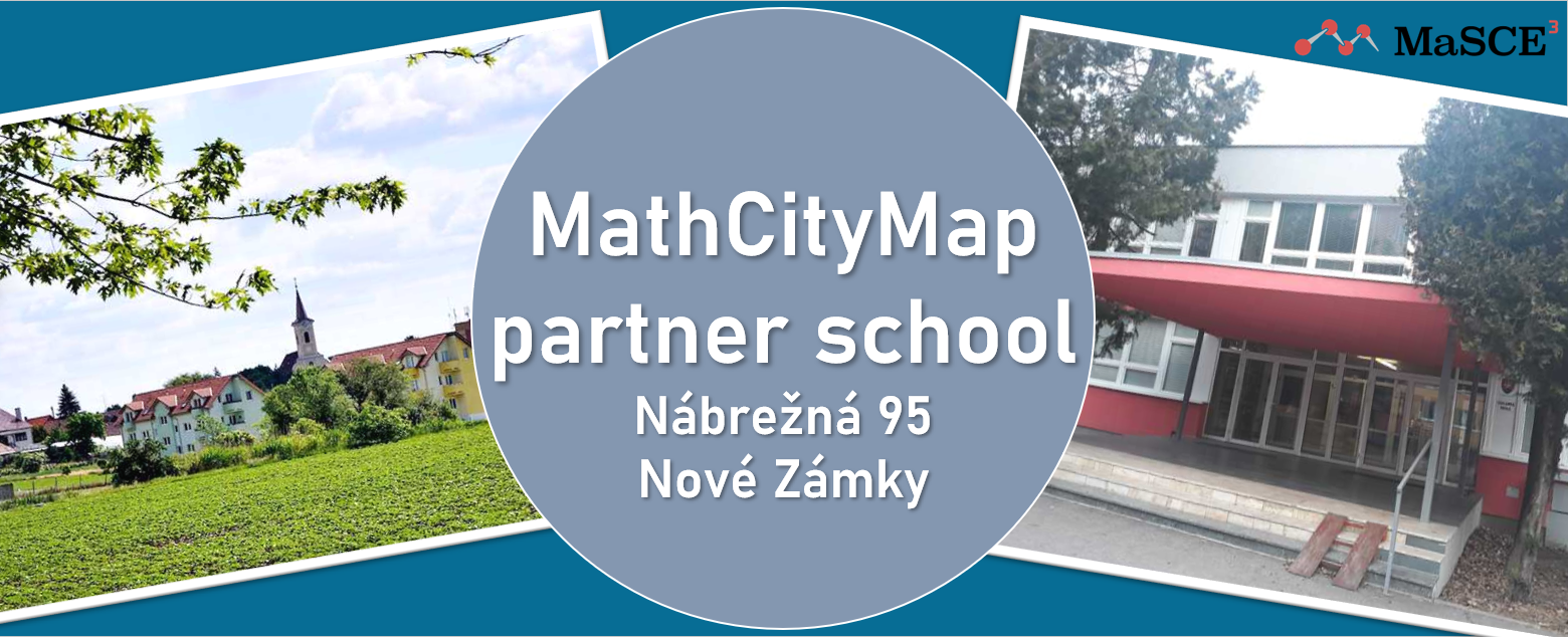
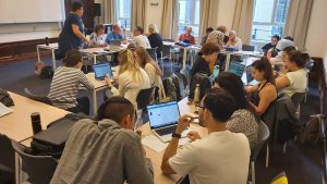
During the two-day Summer School of Didactics of Mathematics, which took place on 6-7 July 2022 at the Pavol Jozef Šafárik University in Košice, Slovakia, primary and secondary school teachers solved a mathematical trail using the MathCityMap application in the city centre. The seminar led by Silvia Haringova continued after solving all the tasks in the premises of the university. During the seminar, participants learned how to create a trail on the portal and received manuals for creating math trails in MathCityMap.
A workshop on MCM trails was conducted by Janka Medová and Veronika Bočková in the centre of Utrecht, the Netherlands, as part of Utrecht Summer School: Mathematics Education held on 15-25 August 2022. The implementation of the summer school was also supported by the ICSE Academy project, in which researchers from several departments of Constantine the Philosopher University in Nitra collaborate with the Freudenthal Institute of the University of Utrecht to design and implement professional development programmes for teachers of mathematics, science and engineering (STEM) with a European dimension.
Janka Medová went also to Usti nad Labem in the Czech Republic, where she attended an event called the Summer School of Didactics of Science STEM Subjects, consisting of several accredited programmes for teachers of mathematics and science. As a lecturer, she collaborated in the implementation of the programme Didactic Principles in STEM subjects with colleagues from the J.E. Purkyně University, Ústí nad Labem and Charles University in Prague. The proposed professional development programme included MCM trails and is based on a joint book of 16 authors, didacticians of various subjects, entitled Didactic principles in science education: methodological guide for teachers of biology, chemistry, physics, geography, informatics, mathematics and lecturers of environmental education. The book was officially invited on Thursday, 18 August 2022, with the participation of the Dean of the Faculty of Science of UJEP and the Faculty of Education of Charles University.
From 22 to 26 August 2022, the prestigious summer school for doctoral students and young researchers called YESS (YERME Summer School) organized with the support of ERME at Johannes Kepler University in Linz, Austria, was attended by a doctoral student of the Department of Mathematics, a student of the study programme Theory of Mathematics Education, Mgr. Silvia Haringová. In TWG 1: Mathematics teacher expertise, practice, and professional development, led by Alf Coles from the University of Bristol (UK), she presented partial results and proposed methodology of her PhD thesis on Collaboration as a means of professional growth of mathematics teachers where she collaborates with mathematics teachers in development of MCM trails.
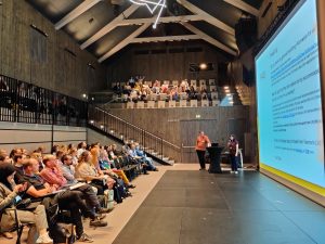
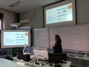
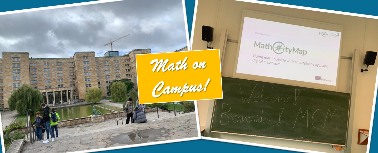
In the last days before the start of the lecture period, 7-9 September 2022, the Faculty of Natural Sciences and Informatics of the Constantine the Philosopher University in Nitra, Slovakia hosted the thirteenth ERME Topic Conference 13 (ETC13) entitled MEDA 3 Mathematics Education in the Digital Age. The MEDA3 conference follows the MEDA conferences organized at the Department of Mathematical Sciences, University of Copenhagen, Denmark in 2018 and Linz School of Education, Johannes Kepler University, Austria in 2020. During the conference Silvia Haringova presented a contribution Identification of domains of mathematics teachers’ knowledge addressed in reflection on technology-supported mathematical trails, co-authored with Janka Medova. The presented model of PD for mathematics teachers and the MCM trails evoked rich discussion.
A week later, on 13-16 September 2022, Janka Medova presented another contribution of the team Haringova-Medova, titled Factors affecting collaboration in designing and enacting MathCityMap trails by in-service teachers at the conference TiMER Trends in Mathematics Education Research held in Krakow, Poland. Event was supported by European Society for Research in Mathematics Education (ERME) within the call Initiatives for Supporting Emerging Communities for Mathematics Education Research in Eastern Europe.
And, since the school year in Slovakia has already started, we are again visiting the schools where we develop and enact the new MCM trails in collaboration with mathematics teachers.