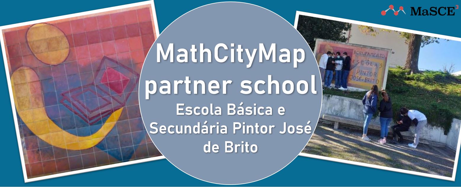
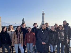
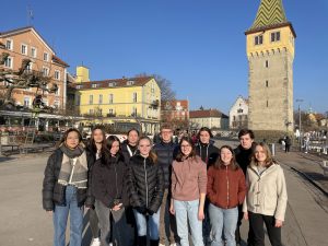
Three is a charm! We are very happy to welcome the third Portuguese school in our partner school program. The “Escola Básica e Secundária Pintor José de Brito” has also successfully completed the application process and is now the fourth official MCM partner school.
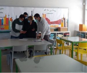
Two dedicated math teachers from the school created and tested the three math trails required for the application here, and also wrote a short report on their experience with MCM so far, which you can read later in this article.
Again, the package with the measuring instruments and the official partner school plaque is on its way to the school and we are already very much looking forward to receiving more applications from all over the world.
All further information about the partner school program and the prerequisites for the application can be found in the article about the first MCM partner school as well as on the homepage of our project MaSCE³.
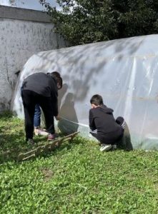
Two teachers (of Mathematics and Mathematics/ICT) working at Escola Básica e Secundária Pintor José de Brito (Viana do Castelo, Portugal), built and applied in partnership three trails; two of these were intended for 12th grade students, and the remaining one for 7th grade students. One of the 12th grade tracks was applied using the digital classroom. Two more trails are currently being prepared, one for 9th grade students and the other for 10th grade students, with a total of 27 tasks published on the school grounds.
The trail tasks were solved in groups of three/four students, who worked collaboratively, using the MathCityMap application on smartphones.
By applying these mathematical trails on the school grounds, we involve all students in active learning, working on the physical, cognitive and collaborative aspects. The different groups used creativity and different forms of mathematical representations in solving the tasks.
We provide students with a different learning experience from the usual one, in which assessment, reflection, critical mobilization of information with a view to solving tasks and strengthening self–esteem and well–being were present.
Students, who are usually less participative in the classroom, were involved in solving the tasks, collaborating with not only group colleagues but also 12th grade students who get involved in the tasks according to the way they perceive their importance for results in national exams.
They all claimed it to be an interesting activity, allowing them to experience mathematics in a different way. As for the fact that the trails allow gamification, the students got engaged with commitment in order to achieve maximum scores.
It is usual for students to question about the importance of mathematics and how it applies to real life. The execution of the mathematical trails on the school grounds allowed them to see the application of different mathematical concepts and procedures in the world around them.