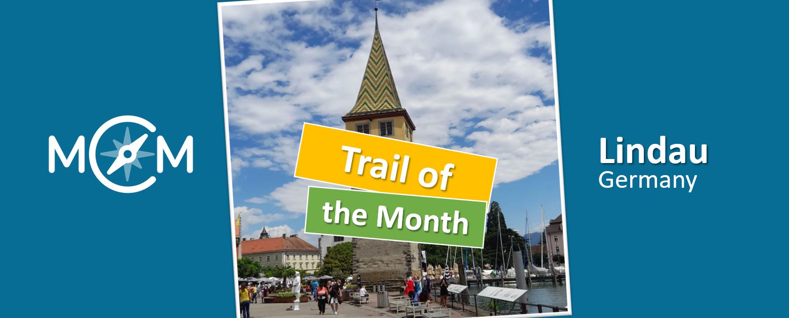
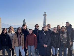
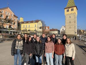
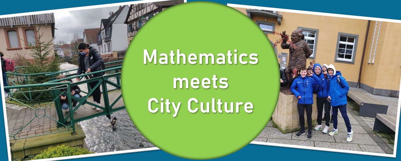
In this article we present a very interesting development in Ober-Ramstadt, a city in the south of the German state of Hesse. There, Daniel Reckhard, a student teacher at the Georg-Christoph-Lichtenberg-Schule, has developed a special kind of math trail with MathCityMap. The aim of the so-called mathematical culture trail is to combine the culture of the city with interesting and creative mathematical discovery opportunities and thus to gain a new perspective on mathematics. Further information about the trail can be found on the website of the city of Ober-Ramstadt and an interview about the background of the mathematical culture trail with the creator can be read below.
How did the idea for combining the topics of mathematics and culture come to life?
Mathematics is one thing above all: an art. Very eloquently and with the necessary leisure Paul Lockhart describes this in “A Mathematician’s Lament: How School Cheats Us Out of Our Most Fascinating and Imaginative Art Form”. An abridged version is freely available as a PDF on the Internet and is absolutely worth reading.
Math as art is meant to be very inclusive, that math is so amazingly suited to describing our universe is one aspect of it. My favorite subjects are the STEM sciences and within mathematics my favorite is statistics. In statistics, too, you are not at home until you have filled its concepts with experience and thus brought them to life, whereupon you can create. So also in statistics aesthetics in the literal sense (aisthesis as “sensual cognition”) is central.
The typical school mathematics could hardly be more opposite. I am forced to cram through a crowded curriculum, necessarily superficial and hasty. I have to drill students on exam math and fill them with mindless arithmetic, dry formulas, and meaningless concepts. So my pubescent students came back to class from distance learning and already the “mathematics competition” of the state of Hesse loomed on the horizon, a de facto comparative test in which an immense range of topics is asked. And this (thoroughly international) rigidity of the curriculum is commonly thought to be the true face of mathematics. No wonder, there is no time for real understanding.
The central reason for the connection, then, is as a resolute antithesis of instruction characterized by control. A second reason is that mathematics is in any case inseparable from our culture as a part of it. For example, I had attended the lecture “Mathematics in Context” by Prof. Burkhard Kümmerer and had enjoyed studying the genesis of mathematics.
Why did you choose MathCityMap to implement the idea?
The idea came from the supervisor of my educational thesis, Steffen Burk. I had the idea of laying a geocache, and he thought there was something better because it was tailored to schools. My second subject is computer science, I like to work my way into new techniques. And here I also found it exciting to see how I can implement my ideas in a very closed learning environment. For example, how do I represent imagination, how do I enable mathematics to unfold?
Because the core principle behind MathCityMap is the same as with the Skinner Box: learners interact with a machine, but outside, i.e. on real objects. And of course, Prof. Ludwig does not intend MathCityMap to replace teaching, but recommends it for certain scenarios, especially as a deepening of the application of already learned concepts. So a real encounter of the learners with something fundamentally new was a challenge. I hope that I succeeded well. In any case, my students had a lot of fun, as did my colleagues who had previously tested the trail.
What I and the students really liked was going out into the world. It naturally led to cooperation with the city administration and to opening up the trail to the general public. That’s another aspect of cultural school: connecting the school community with the communities that surround it. That also enlivens the math. What I also really liked is that the user-friendliness allows students to create tasks. This allows them to be immediately creative.
For example, I could also imagine implementing open-ended task formats: for example, “How should (mathematical object) be designed?” The students use the funnel principle to make assumptions or choose suitable real objects, and their closed MathCityMap task thus represents a solution to the open task.
What is there to discover and learn on the trail?
The goal of this trail is to show the cultural and aesthetic side of mathematics, its diversity, hidden patterns, symmetries, but also how mathematical cultural techniques shape our world. Compared to other trails, the tasks are deliberately kept quite easy. After testing, I have adapted the tasks and aids so that many students can solve the tasks well. As with the Computer Science Beaver, the trail is intended to enable students to gain a positive experience with mathematics without a great deal of prior knowledge, which creates a desire for more.
At my favorite station, students discover what numbers (for example, their favorite number) really look like because, for example, “4” or “four” are just names for a number, they are not the number itself. I implemented this via a geogebra activity. At another station, they learn why scaffolds always contain triangles, as they recreate them and thus “grasp” math in the literal sense. The material for this is on file at the school. Those outside the school can borrow the material from the town hall with a deposit of 10€.
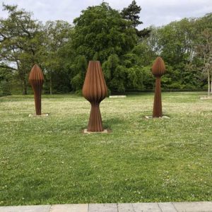
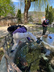
At yet another station, they stretch a twelve-knot cord and have to understand how many stone slabs are spanned, thus discovering the decomposition principle and thus the decisive basic idea for the area of any polygon. One station (appropriately enough, the library) activates the imagination and asks what would be created if one were to think of the mirrored object in addition to the given object (a decorative window).
And quite incidentally, something about cultural history is told, for example, why a stream leads to a mill wheel. I found it impressive to calculate with which enormous force this wheel is turned. Finally, the students are taken to hidden cultural sites, for example, our small town has its own museum, which many people are not aware of.