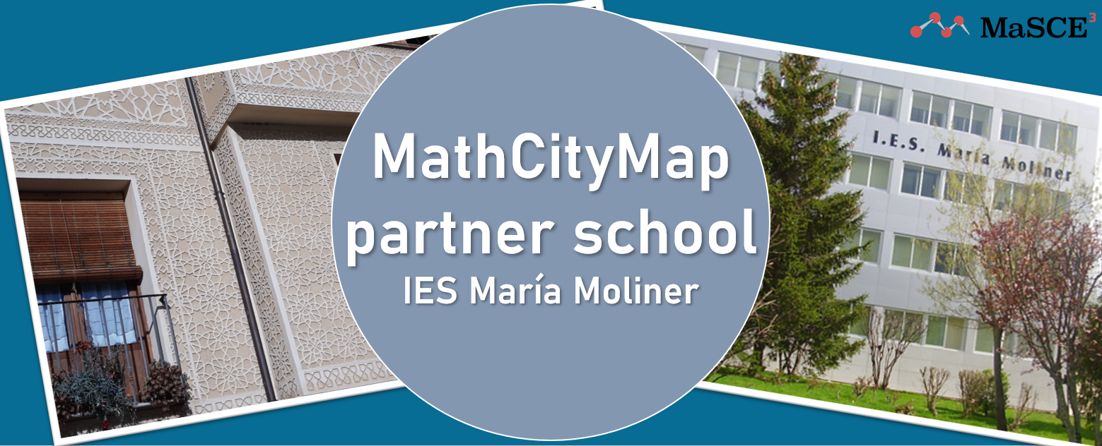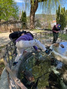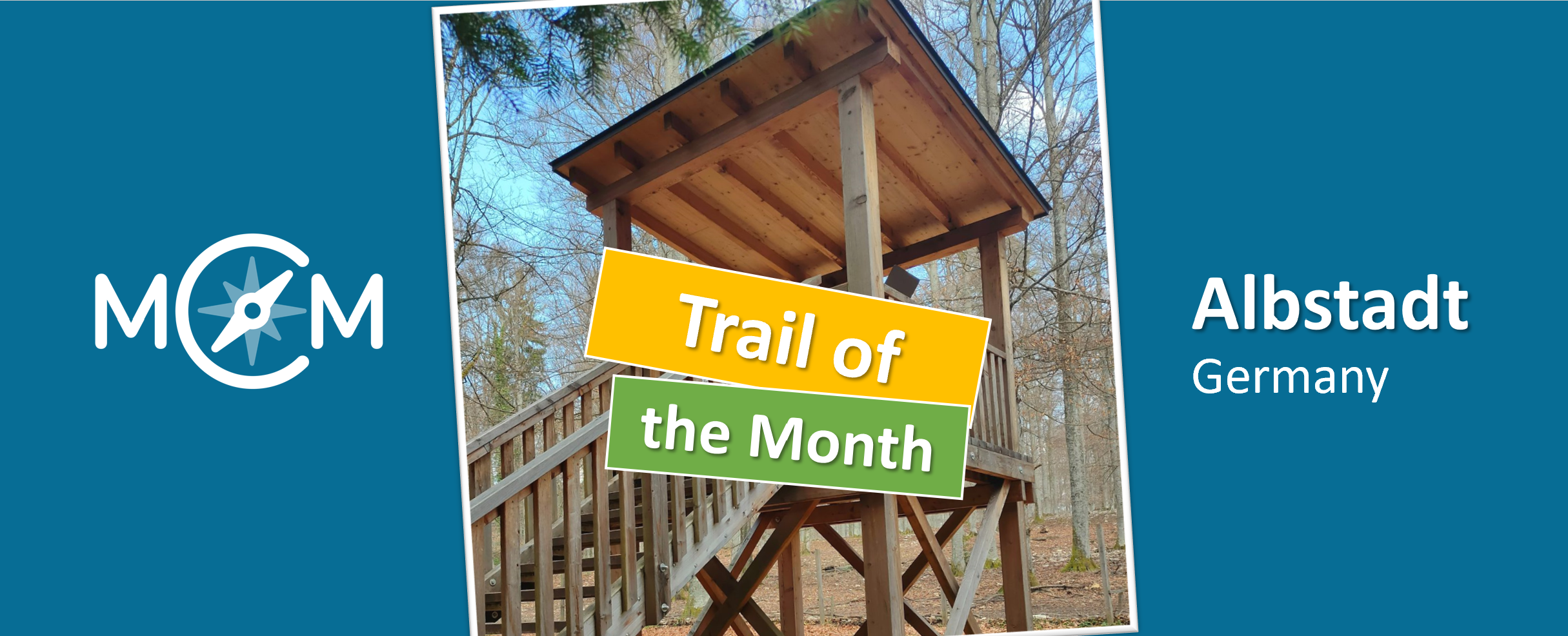
In August, the Trail of the Month comes from Albstadt, a city in the south of the German state of Baden-Württemberg. In a joint project, the Zollernalbkreis District Media Center and the Baden-Württemberg State Media Center created the “Traufgängerle Hexenküche (witch kitchen) in Albstadt” mathtrail here, which can be accessed with the MCM app under the code 459518 and is available on the MathCityMap web portal here.
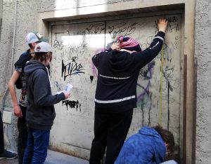
The trail consists of a total of twelve tasks that are designed to cover all content-related competencies that need to be acquired in elementary school. While working on the tasks, you can experience one of the many special hiking trails around Albstadt, which gives this trail a very special atmosphere.
Silke Schick, educational associate at the State Media Center Baden-Württemberg and co-creator of the trail, gives us a short interview below about the creation of the trail and her work with MathCityMap. Enjoy reading!
How did you come across the MathCityMap project?
During a brainstorming session for the Media Competence Days of the district media centers and the Baden-Württemberg State Media Center in June of this year, we stumbled across MathCityMap and then connected it with the premium hiking trails in the city of Albstadt.
Since math teachers are on the team, the idea came up for the students to design a trail during the time of the media literacy days that would invite them outside, while also creating an area for teachers to use for long-term math field trips. In the course of this, we developed a training for teachers to introduce the portal.
Where is your trail located? What is special about your trail?
As a media center association, it is particularly important to us that the trail can be used by as many people of all ages as possible. Thus, we have chosen a trail that is located along a well-known hiking trail especially for children. This trail leads through a wooded area past a game preserve, there is a “witch’s kitchen” to discover and at the end it leads to an observation tower of a medieval castle. This trail can be used by families with children, grandparents with their grandchildren as well as school classes of elementary school or orientation school as an excursion destination and mathematical journey of discovery.
How do you use MCM and why?
The trail was a pilot project that will lead to us making similar project trails available throughout Baden-Württemberg. Starting in the upcoming 2022/2023 school year, advisors at district media centers will train local teachers on how to use MCM for their own schoolyard or city. A great option for doing math together outdoors.
Describe your favorite task on the trail. How can it be solved?
There are two favorites in the team:
In the “Albstadt Town Musicians” task, you have to find all the wooden animals in the forest, measure them and add up their height. As a team, you have to agree on where and how to measure.
The second favorite is the “Tower” station. The task is to count steps. We had three generations with us when we created it and ended up with three different solutions. The challenge was for everyone to find an optimal counting strategy on the way up and to keep it up. Fitness training was included.