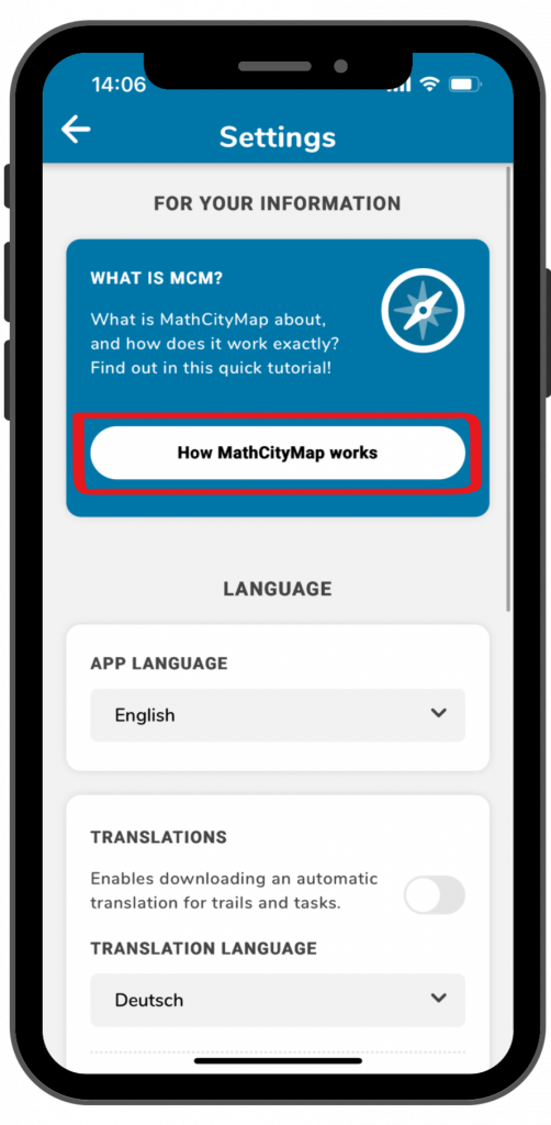
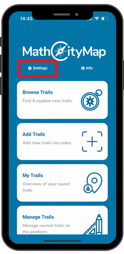
Passo 1 – Abrir configurações
Clique em «configurações» ao lado do símbolo da roda dentada no canto superior esquerdo do ecrã inicial.
Uma janela com várias opções de configuração será aberta.
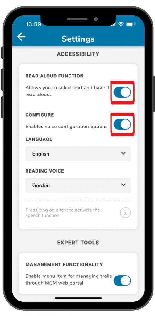
Passo 2 – Ativar função de leitura em voz alta
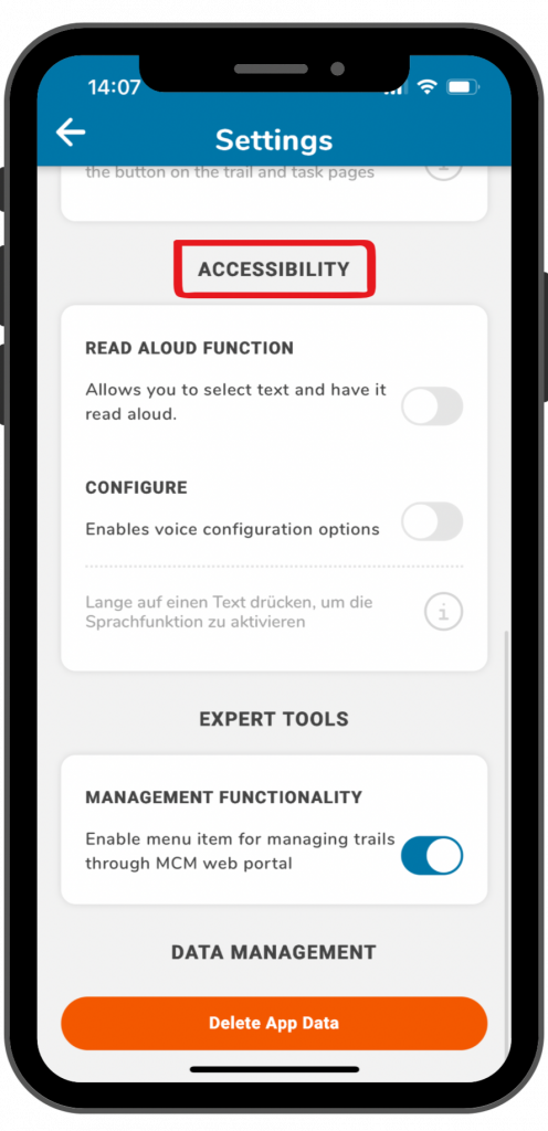
Sob o título «acessibilidade», encontrará a função de leitura em voz alta.
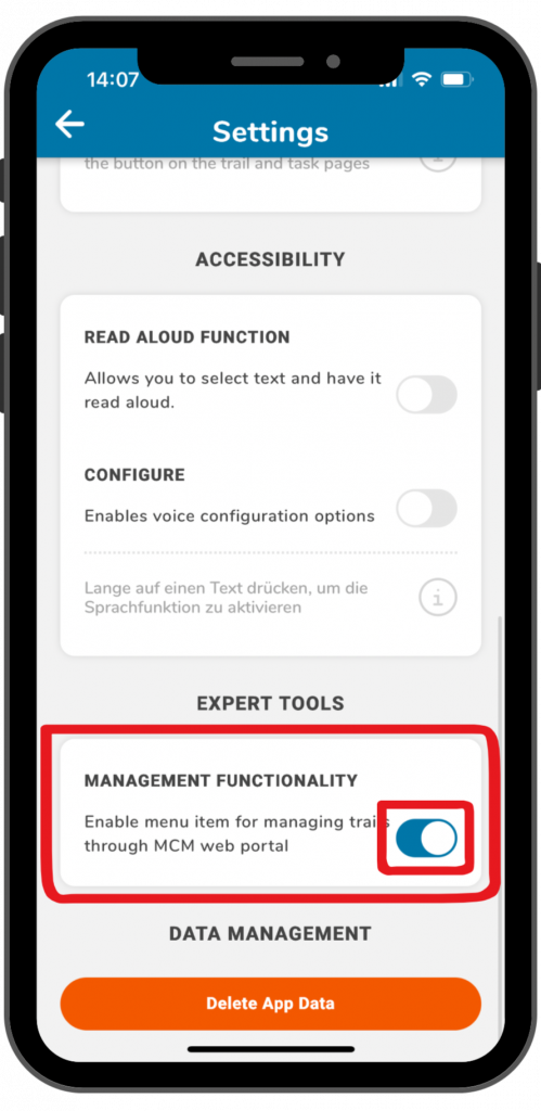
Clique no botão à direita para ativar a função.
Ao clicar no botão ao lado de «configurar», pode selecionar diferentes idiomas e vozes.
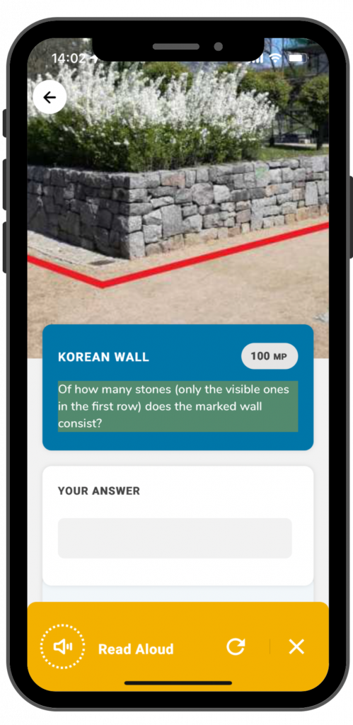
Passo 3 – Use a função de leitura em voz alta
Assim que a função de leitura em voz alta for ativada, poderá utilizá-la na aplicação. Isto funciona para informações sobre trilhos e atribuições de tarefas.
Para utilizar a função de leitura em voz alta, tem de clicar no texto durante mais tempo.
Um campo amarelo aparecerá na parte inferior do ecrã. Ao clicar na seta, o processo de leitura em voz alta será repetido. Ao clicar no X, o campo amarelo desaparecerá.