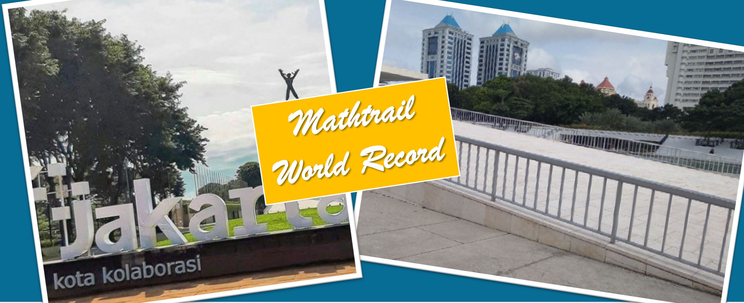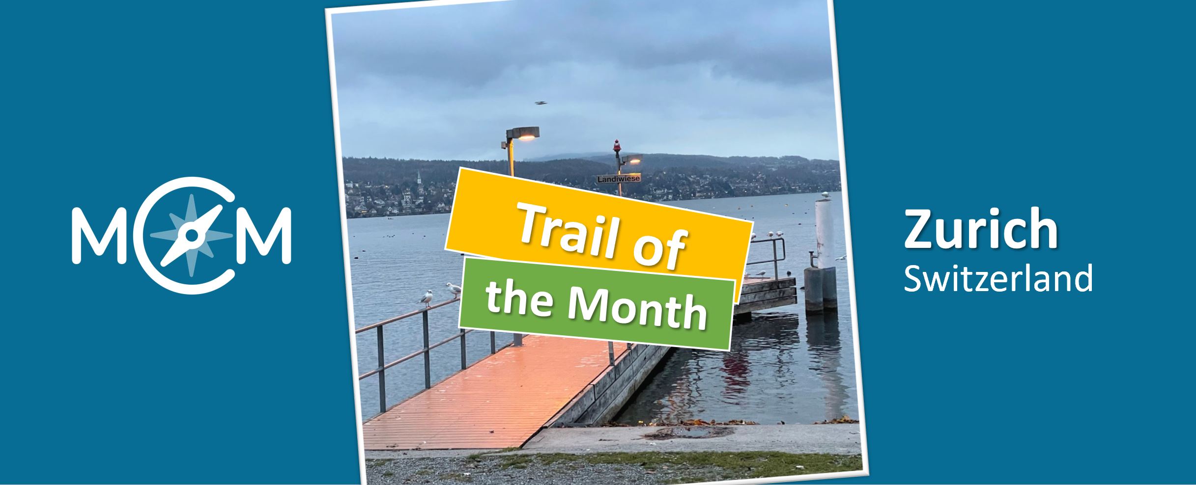
The term mathematical walk could hardly be more apt than for the trail of the month March. This one comes from the largest city in Switzerland, Zurich. Here, Roland Wiss, a member of the school management and executive board of LIPSCHULE Zurich, has created the trail “Counting, measuring, calculating and estimating between Sechseläutenplatz and the city border” (Zählen, Messen, Berechnen und Schätzen zwischen Sechseläutenplatz und der Stadtgrenze), which can be accessed in the MCM app under the code 257781 and is available on the MathCityMap web portal here.
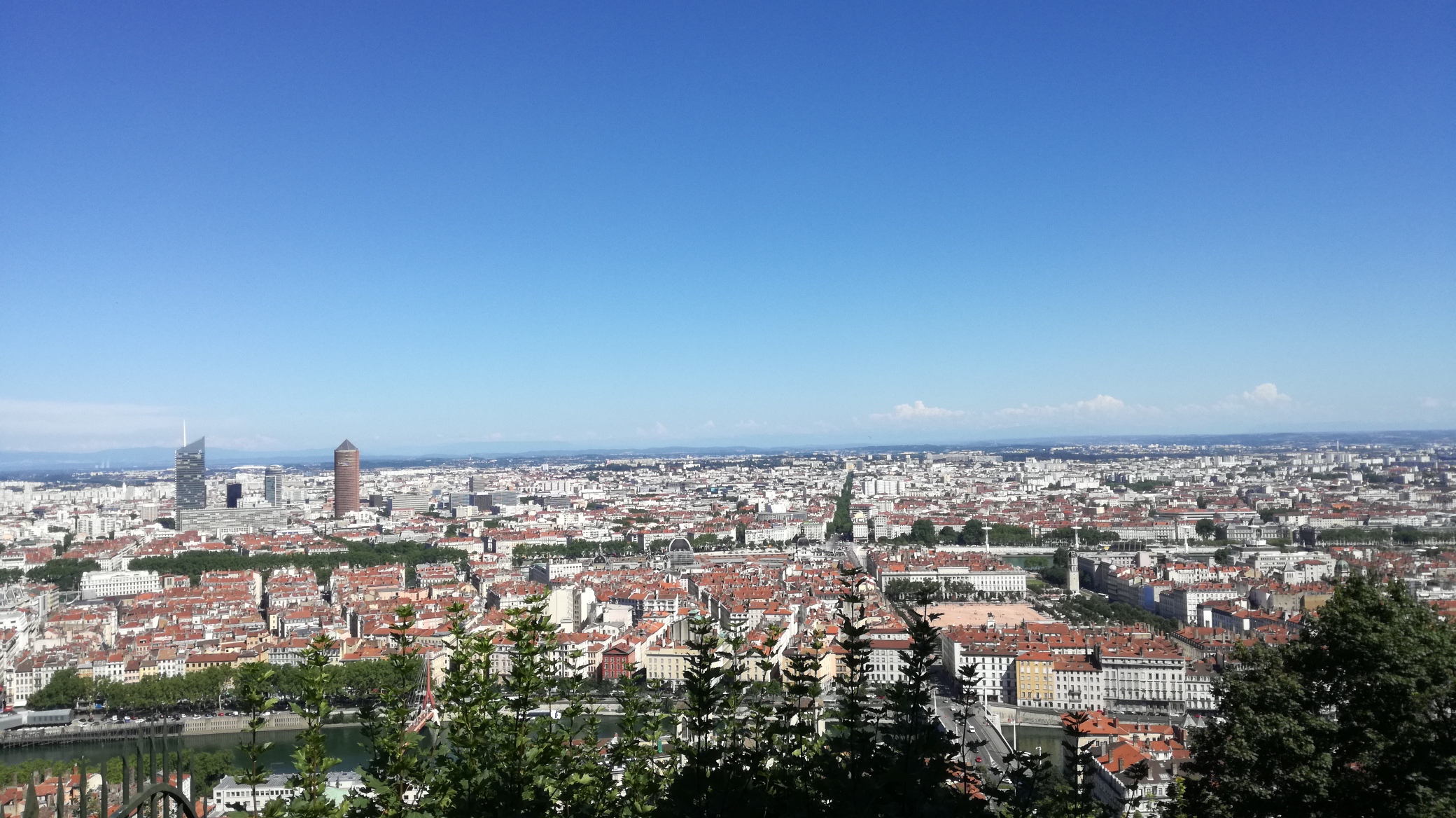
The trail stretches over a total length of 2.8 km and, as the title suggests, leads from the centrally located Sechsläuteplatz along a walking path alongside Lake Zurich to the city border. A total of twelve interesting mathematical tasks with a wide variety of content can be found along the route, which not only offers a chance to marvel at the beautiful nature surrounding the city of Zurich. What most of them have in common, however, is that there seems to be too little data to solve them.
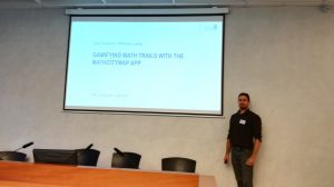
Roland Wiss explains among other things the concept of the trail in more detail in the following interview:
How did you come across the MathCityMap project?
I am always interested in different ways to show my students the beauty and excitement of mathematics. This includes mathematical problems from everyday life and especially outside the classroom. For this reason, I regularly search the internet for exciting math projects. In doing so, I came across the MathCityMap project, which immediately appealed to me.
Where is your trail located? What is special about your trail?
I walk every morning in Zurich from Stadelhofen station to Lipschule and since I am a big fan of Fermi questions, I had the idea to design this trail along my way to work. I call a Fermi question an estimation about a problem, where the students seem to have no or insufficiently accurate data at a first superficial glance. However, when their explorer and detective eyes are awakened, students notice that they can decompose the question into several sub-problems for which they can find exact or approximate solutions. Combining and completing the partial results, they arrive at an overall result that is very close to the actual value. My students like to deal with Fermi questions and they learn a lot. So it was obvious for me to create a trail on the topic “Counting, Measuring, Calculating and Estimating”. Since the Lipschule is a comprehensive school with different age groups, I wanted to create a trail that contains tasks for many age groups. In addition, there is the wonderful location at the lake and the possibility to extend the trail to a day trip with (at least in summer) a swim in Lake Zurich.
How do you use MCM and why?
We regularly have a mathematics project week. One workshop of this week is called “Mathematics outside” and has the following content: “Mathematics is everywhere. We explore the surroundings from Sechseläutenplatz to Lipschule with a mathematical eye”. The MathCityMap app is perfect for this. I especially like the fact that the students are outside thanks to the app and solve many tasks in teamwork. They are also actively involved and have to solve the tasks and problems using appropriate tools. The students learn not only mathematics, but also teamwork and the use of clever solution and organization strategies.
Describe your favorite task on the trail. How can it be solved?
My favorite task is called “Area of a hexagon” because it can be solved in different ways and by different ages. On the one hand, the older students can use the area formula for the hexagon 3*√3*s*s/2 and count the paving stones along the sides to determine the number. On the other side, there are hexagons of equal area in the square, which are filled with paving stones. Younger students, who do not yet know the area formula, can determine the number in a clever way by counting and estimating. Since the hexagons filled with pavers all have similar patterns, the students can also think about the method the paving contractor used to lay out the pavers. It is therefore a place and a task that can stimulate a variety of thinking processes.