At the beginning of the year, MathCityMap and research results were presented at an international STEM conference in Mumbai, India. Matthias Ludwig spoke at the epiSTEME 7 on 7th January 2018 about the motivational effects of using MathCityMap. Further, he created a small trail together with Xenia Reit, which was enthusiastically tested by the participants of the conference. No wonder in this smartphone addicted country.

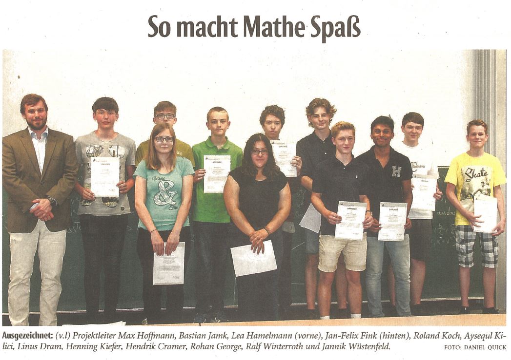
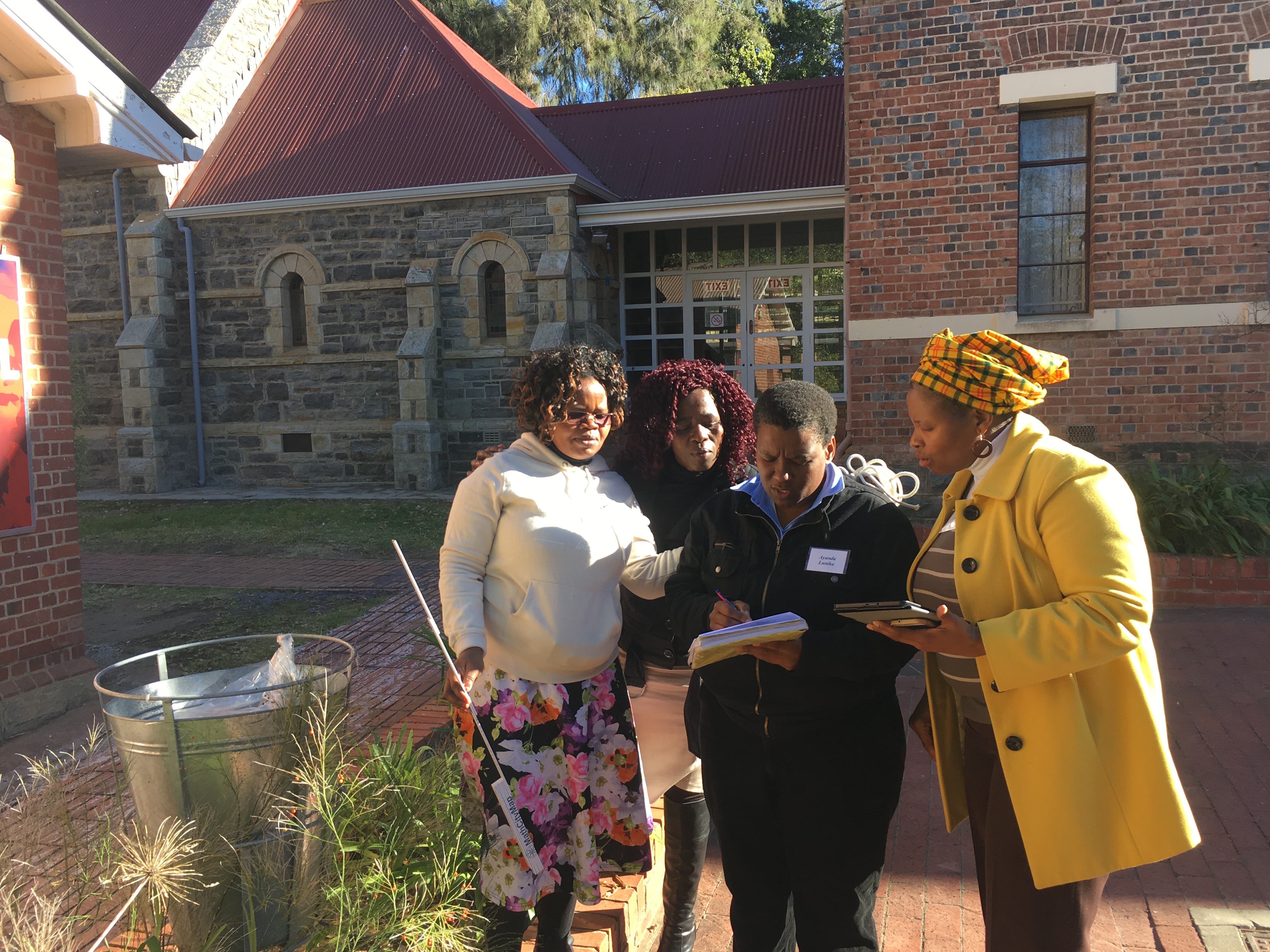
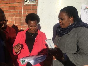
The MathCityMap idea lives from its active users and task creators in different places. Today, we would like to present a new trail at the University of Heidelberg that Mr. Niccolò Rigi-Luperti created there. In a short interview, for which he was thankfully available, we would like to let him speak for himself and give us an insight into the background to the trail creation.     

How did you hear about MathCityMap?

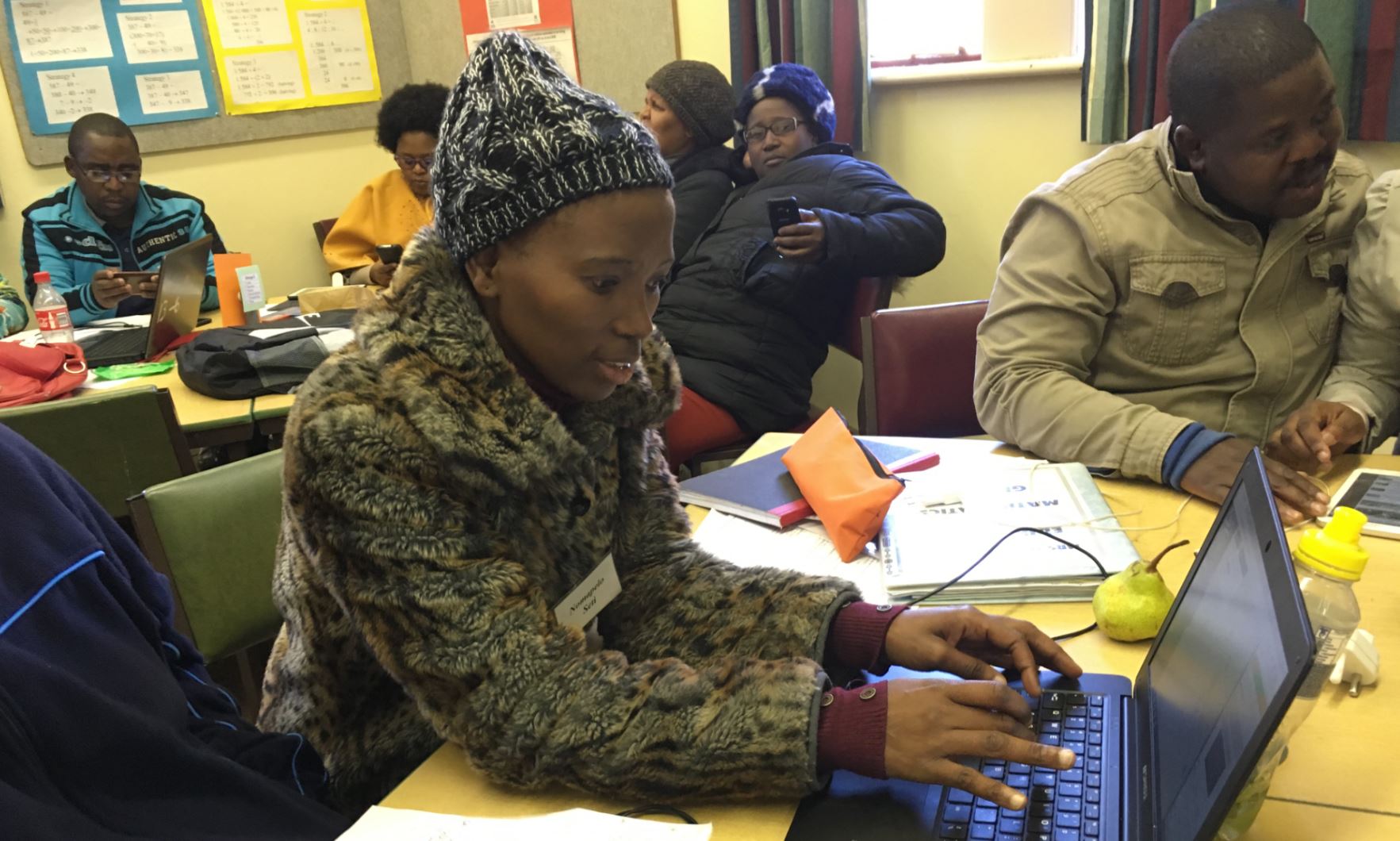
Through my job as a scientific assistant in the project “MINTmachen!”. There, we bring students closer to MINT subjects through e.g. holiday courses, workshops at the Girls-Day or possible BOGY-stays at the university (www.mintmachen.de). My boss (Dr. Michael Winckler) had learned from MathCityMap and asked me to get to know the app to see if and how we could integrate it into our work.   

How did you get the idea to create your own trail? Have you created this for a particular event or target group?

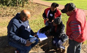
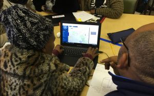
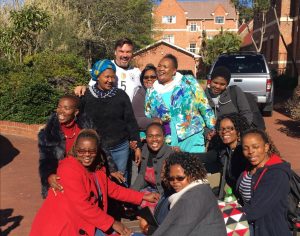
It seemed to me the best way to get a feeling for the app and the job. According the target group, I was thinking of math-physics-computer science first semesters, which should solve small group tasks in the introductory days for mutual learning. In my opinion, this is a very good way to do this, especially because they are doing maths together and seeing different campus locations.

What mathematical content and skills are required in your trail?

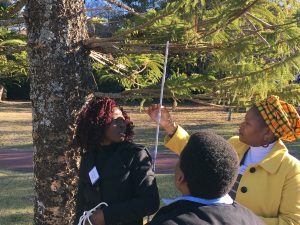
In the order of the four tasks: simple probability calculation, precise counting of objects, trigonometry and potential & kinetic energy, combinatorics.   

Which of the tasks is your “favorite task” and why?

The third task, “wheelchair“. I think it is nice to see the slope as a large acceleration ramp. It is the only physical task, and it can be solved in different ways, but they are of varying complexity. The easiest way to do this is to use energy conservation. Doing so, you solve the problem quite efficiently, it is only necessary to do a few line transformations as well as a single length measurement.

On 28.09.17, Daniel Birnbaum, Martin Lipinski and Simone Jablonski presented MathCityMap as part of an internal teacher training at the Johanneum Gymnasium in Herborn. First, the theoretical basis for Math Trails as well as the MCM concept were presented to the participants. With the help of the criteria for good MCM tasks, the participants were then themselves active and searched for possible tasks at the schoolyard. After a change of perspective, the participants learned about the app by means of a trail in the schoolyard, consisting of combinatorial and geometrical problems.

We would like to thank the participants for their cooperation and feedback and look forward to numerous MCM tasks in and around Herborn. Are you interested in teacher training on MCM? Feel free to contact us!

After one year of preparation we managed it: MathCityMap is the heart of the Strategic Partnership MoMaTrE. MoMaTrE is an acronym for Mobile Math Trails in Europe. The working group MATIS I led the application for this Erasmus + project. Currently, seven institutions from five countries are participating:

  •  Goethe University, Frankfurt
  • Univerzita Konstantina Filozofa, Nitra, Slovakia
  • Université Claude Bernard, Lyon, France
  • Instituto de Engenharia de Sistemas e Computadores, Investigação e Desenvolvimento, Lisbon, Portugal
  • Instituto Superior de Engenharia, Porto, Portugal
  • Autentek GmbH, Berlin (software company)
  • Federación Española de Sociedades de Profesores de Matemáticas, Santander, Spain  

Within the next three years, the project has the following aims

  • Spread of mobile Math Trails across Europe
  • Further development of MathCityMap (including Gamification, mobile authoring tools, new task formats, educational Math Trail features)
  • Database for generic Tasks
  • Development and implementation of (international) training modules (shortterm curriculum)
  • Development and implementation of accredited seminars on outdoor mathematics (longterm curriculum)
  • Explore the use of mobile math trails and present the results at congresses and publications

Apart from the contentual reasons, the many supporting letters of our associate partners were responsible for the award. For example, we were able to convince the MNU, the Media Office of the DMV, Mathe im Leben, the DZLM, and the Stiftung Rechnen. From France are supported by the IREM, from Spain the Royal Spanish Society of Mathematics, from Portugal the Mathematicial Society as well as the Mathematics Teaching Association, and from Slovakia the Association of Slovak mathematicians and physicists.

From 17th July to 22nd July 2017, MathCityMap was presented at the National Institute for Educational Development in Okahandja to a select group of postgraduates and students from all over Namibia. Of course, we searched for special tasks. One of them focuses on the Camel Thorn Tree

…and another on the Namibian Desert Cactus

The interest in the mobile mathtrails was very high and tasks were found and created diligently. We are looking forward to seeing more tasks in whole Namibia.

After all teachers had learned about the system, and the registration problems had been solved, the participants were able to create tasks by themselves. They found good objects to experience mathematics.

The problems came later back in the classroom. Again, it was experienced that a precise formulation, the creation of hints and sample solutions are not formulated easily. Of course, there were also technical problems since not all teachers had the appropriate IT knowledge to exchange images between two devices or to edit them (for example a 90° rotation). Nevertheless, each group was able to integrate a task into the system.

We, the MCM project team, are a little proud that our idea and system also works in South Africa! But the participants enjoyed it as well as the final photo shows. MCM says thanks to RUMEP (Rhodes University Math Education Project).

On Monday, 10.07.2017, Martin Lipinski and Iwan Gurjanow of the MathCityMap project held a training course on the subject of mathtrails and the use of technology for teachers in teaching practice in Cologne. The day already started at 7 o’clock to finish the tasks. From 15 o’clock, approximately 25 participants had the opportunity to test the MathCityMap app, develop their own tasks around the campus of the TH Köln and the Rhine and create them in the portal. It was measured, calculated, laughed and emotionally discussed as well as new ideas collected for the teaching use. The leaderboard gamification created a small competition among the math trailers.

In the end everyone agreed: The MCM project is very suitable for contributing to the development of competencies in mathematics teaching. In particular, they emphasized the promotion of numerical and geometrical competencies.

This week, we had the opportunity to present MathCityMap at a teacher training at Rhodes University in Grahamstown in South Africa.

Matthias Ludwig followed the invitation of Prof. Dr. Marc Schäfer (chair of mathematics education, Rhodes University) and accepted the challenge to present and test MCM in South Africa.

The area of ​​Rhodes University offers a variety of objects which are suitable for good MCM tasks. Three routes with 6-7 tasks could be created. On Monday, the theory of outdoor mathematics and the basic idea of ​​MCM were introduced. On Tuesday, almost all of the 50 teachers were able to install the MCM app on their Android smartphones. Some tried it with their Windows phones, but of course it did not work. None of the teachers owned an iPhone! Afterwards, it was time to solve the tasks, but it turned out that many participants were not able to navigate on a map at all. Some had not activated the GPS localization and searched the right direction. Thanks to the support of Clemens and Percy, we found the reason quickly.

It was a pleasure to observe the teachers during solving the tasks, and to see the joy when the MCM app rewarded a 100-point response and a green check. Overall, the concept of “doing mathematics outside” was completely new to the South Africans.

There was also a discussion about units, conversions and modeling. Especially the modeling process is relevant for MCM since one has to translate reality into a mathematical model to solve the tasks numerically.