

Research on MathCityMap in Indonesia has been conducted by the Working group MATIS I from IDMI Goethe University Frankfurt Germany in collaboration with the Mathematics Department of Universitas Negeri Semarang (UNNES) since 2014. Apart from research results, MathCityMap is implemented in several regions in Indonesia both for mathematics learning activities formally in schools and for informal activities in a relaxed atmosphere. MathCityMap Trails are created in the school environment as well as in city parks, historic places, and also in tourist attractions.
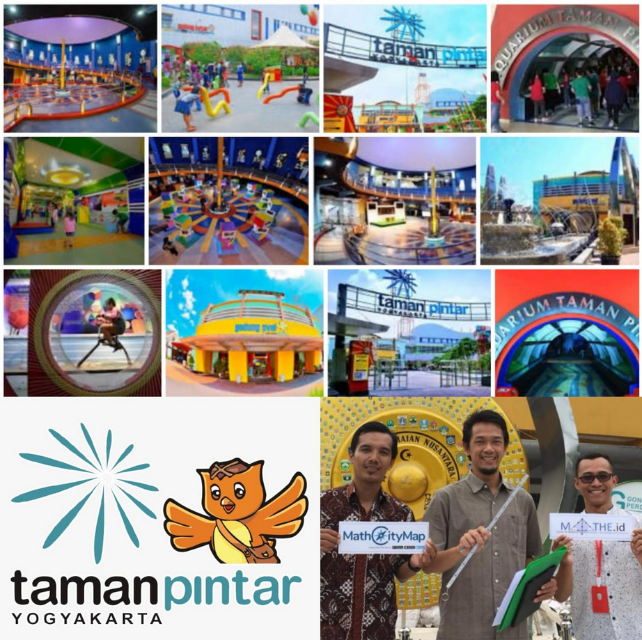
The Research Team (Dr. Puguh W Prasetyo, Afit Istiandaru, and Faris Setyawan) from Universitas Ahmad Dahlan (UAD) collaborated with a MathCityMap Educator, Dr. Adi Nur Cahyono from Universitas Negeri Semarang (UNNES), to develop the MathCityMap Trails in Taman Pintar (Smart Park), a popular education and recreation park located in the center of the Yogyakarta City.
This program is part of the Digital Sciences Tourism development program funded by the City Government of Yogyakarta in 2019. The research team coordinates with Taman Pintar managers to discuss the math trails that are designed as one of the platforms in the park as well as activities to be carried out by utilizing trails which has been made. There are 3 levels of trails that can be chosen, namely the elementary, middle and high school levels which contain mathematical problems related to the educational objects in this park.
Visitors can explore mathematics in this park by using the MathCityMap App with friends or family to play and learn mathematics and get to know educative objects in a pleasant atmosphere. This program combines recreational and educational activities and emphasizes the concept of popularization of mathematics. This year, the manager of Taman Pintar also plans to use these MathCityMap Trails in organizing math and science competitions that have been routinely held every year.
After being tested, MathCityMap in Taman Pintar will be officially launched and socialized by inviting schools in the Yogyakarta City Government area. Taman Pintar is located in the center of Yogyakarta City and is one of the most popular tourist attractions in the city located in one of the special areas in Indonesia, the Special Region of Yogyakarta. In this special area there is also a Kingdom that is part of the Territory of Indonesia, namely the Sultanate of Yogyakarta.
Let’s visit Indonesia, let’s take a math tour at Taman Pintar Jogjakarta with MathCityMap.
Text by Adi Nur Cahyono